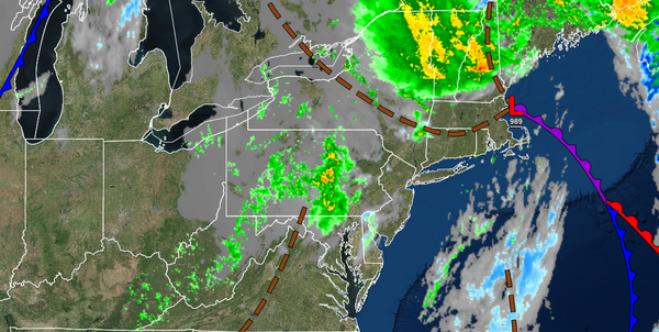
A few showers will haunt the ghouls and ghosts today, but no rainfall will be heavy enough to stop anyone from free candy. A powerful storm is becoming more likely by the end of this coming week.
HALLOWEEN
A trough of low pressure will swing through with scattered clouds and a few isolated showers. Most locations will remain dry, but a shower could produce light rainfall for 20 to 30 minutes this afternoon, especially over the Poconos, Catskills, and northwestern New Jersey. Winds will be from the west at 5 to 15 mph with gusts up to 20 mph at times in the afternoon between 12 PM to 3 PM. Temperatures will rise into the mid to upper 50s over the
interior and lower to mid-60s along the coast for highs.
TONIGHT THROUGH TOMORROW
High pressure will produce clear skies to scattered clouds. Winds will be from the west at 5 to 15 mph. Temperatures will range from the upper 30s to lower 40s over the interior and mid-40s to lower 50s along the coast for lows and upper 50s to lower 60s over the interior and lower to mid-60s along the coast for highs.
TUESDAY THROUGH THURSDAY
A series of cold fronts and troughs will produce scattered clouds with isolated showers. Winds will be from the west at 5 to 10 mph. Temperatures through the period will range from the upper 20s to mid-30s over the interior and upper 30s to mid-40s along the coast for lows and mid to upper 40s over the interior and upper 40s to mid-50s along the coast for highs.
FRIDAY THROUGH SATURDAY
An area of low pressure will approach the region on Friday with periods of rain, heavy at times. The low-pressure system will pass through the coastal waters and intensify Friday night through Saturday with waves of moderate to heavy rainfall for most of the region. However, the rain will mix over to snow for locations above 1,000 feet with some minor snow accumulation possible. Temperatures on Friday will range from the lower to mid-30s over the
interior and upper 30s to lower 40s along the coast for lows and lower to mid-40s over the interior and mid to upper 40s along the coast for highs. Temperatures on Saturday will feature temperatures falling through the mid-30s over the interior and through the 40s along the coast.
SUNDAY
High pressure will build into the region with clearing skies and breezy conditions. Temperatures will range from the upper 30s to lower 40s over the interior and lower to mid-40s along the coast for lows and mid to upper 40s over the interior and lower to mid-50s along the coast for highs.