A series of troughs will keep the threat for a few isolated showers through tomorrow along with chilly conditions. Frost and freeze conditions have returned to much of the region.
TODAY THROUGH TOMORROW
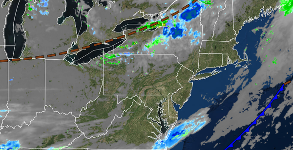
A series of cold fronts and troughs will move through the region with scattered clouds and a few isolated showers. Winds will be from the west at 5 to 10 mph. Temperatures today will rise into the mid to upper 40s over the interior and lower to mid-50s along the coast for highs. Temperatures tomorrow will range from the upper 20s to lower 30s over the interior and mid-30s to lower 40s along the coast for lows and lower to mid-40s over the
interior and upper 40s to lower 50s along the coast for highs.
FRIDAY
High pressure will be in control with clear skies to scattered clouds. Winds will be from the northwest at 5 to 10 mph. Temperatures on Friday will range from the upper 20s to lower 30s over the interior and mid-30s to lower 40s along the coast for lows and lower to mid-40s over the interior and upper 40s to lower 50s along the coast for highs.
SATURDAY
High pressure will slowly exit the region with increasing clouds throughout the day. Temperatures will range from the upper 20s to lower 30s over the interior, lower to mid-30s in the suburbs, and mid to upper 30s along the coast for lows and upper 40s to lower 50s over the interior and lower to mid-50s along the coast for highs.
SUNDAY
An area of low pressure will pass through the coastal waters with periods of rain along the coast and scattered showers over the interior. Temperatures will range from the lower to mid-30s over the interior and upper 30s to lower 40s along the coast for lows and mid to upper 40s throughout the region for highs.
MONDAY
The low-pressure system will exit on Monday morning with lingering showers followed by clearing skies towards the afternoon and evening. Temperatures will range from the mid to upper 30s over the interior and lower to mid-40s along the coast for lows and upper 40s to lower 50s over the interior and mid to upper 50s along the coast for highs.
TUESDAY AND WEDNESDAY
High pressure will produce clear skies to scattered cloud cover. Temperatures will range from the mid to upper 30s over the interior and upper 30s to mid-40s along the coast for lows and lower to mid-50s over the interior and mid-50s to lower 60s along the coast for highs.