Comfortable weather conditions will continue into the upcoming week, but a stormy pattern is likely by next weekend.
TODAY
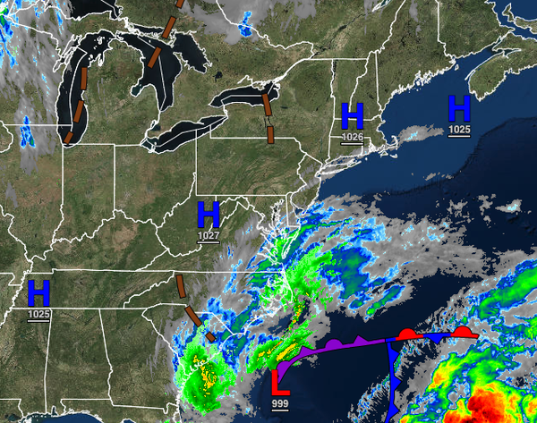
High pressure will build into the region with clear skies to a few clouds. Winds will be from the north at 5 to 10 mph. Temperatures will rise into the lower to mid-50s for highs.
TONIGHT THROUGH TOMORROW
High pressure will be in control with clear skies to scattered cloud cover. Winds will be from the northwest at 5 to 10 mph. Temperatures will range from the lower to mid-30s over the interior and upper 30s to mid-40s along the coast for lows and lower to mid-50s along the coast and mid-50s to lower 60s along the coast for highs.
TUESDAY
High pressure will shift to the south of the region with clear skies to scattered clouds. Winds will be from the west at 5 to 10 mph. Temperatures will range from the upper 30s to lower 40s over the interior and lower to mid-40s along the coast for lows and mid to upper 50s over the interior and lower to mid-60s along the coast for highs.
WEDNESDAY THROUGH THURSDAY
High pressure will be in control through the forecast period with clear skies to scattered clouds. Temperatures on Wednesday will range from the upper 30s to lower 40s over the interior and lower to mid-40s along the coast for lows and mid to upper 50s over the interior and lower to mid-60s along the coast for highs. Temperatures on Thursday will range from the mid to upper 30s over the interior and lower to mid-40s along the coast for lows and mid to
upper 40s over the interior and lower to mid-50s along the coast for highs.
FRIDAY
A strong cold front will slowly approach the region with increasing clouds and scattered showers. Temperatures will range from the mid to upper 40s over the interior and lower to mid-50s along the coast for lows and lower to mid-60s over the interior and mid to upper 60s along the coast for highs.
SATURDAY
The cold front will exit the region with periods of rain in the morning followed by slow clearing in the afternoon. Temperatures will fall from the upper 40s to mid-50s into the upper 30s to mid-40s through the day.
SUNDAY
An area of low pressure will develop along the stalled cold front boundary over the coastal waters with rain developing throughout the region. The rain will begin to mix with sleet and snow for elevations above 700 feet in the Poconos, Catskills, and Hudson Highlands by the evening. Temperatures will range from the upper 30s to lower 40s over the interior and mid-40s to lower 50s along the coast for morning lows and upper 40s to lower 50s for highs
throughout the region. Temperatures are expected to rapidly fall in the evening through the 40s and 30s, especially over the interior.