A weak cold front will keep clouds in place for much of today. A stronger cold front on Friday morning marks a turn to colder and more unsettled weather conditions.
TODAY
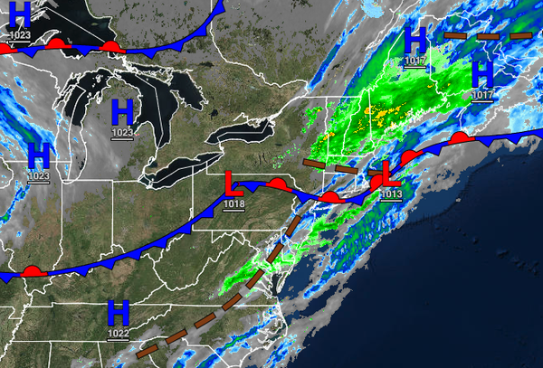
A weak cold front will pass through the region with scattered to broken cloud cover expected along with an isolated shower. Winds will be from the west at 5 to 15 mph. Temperatures will rise into the mid to upper 50s over the interior and lower to mid-60s along the coast for highs.
TONIGHT THROUGH TOMORROW
High pressure will be in control with clear skies to scattered cloud cover. Winds will veer from the northwest to the east at 5 to 15 mph. Temperatures will range from the lower to mid-30s over the interior and upper 30s to lower 40s along the coast for lows and lower to mid-50s over the interior and upper 50s to lower 60s along the coast for highs.
FRIDAY
A strong cold front will produce periods of rain throughout the region from 4 AM to 1 PM. The rain will be heavy at times, especially in the morning hours. Winds will veer from the southeast to the west at 10 to 20 mph with gusts over 30 mph at times. Temperatures will range from the lower to mid-50s over the interior and upper 50s to lower 60s along the coast for lows and mid to upper 50s over the interior and upper 50s to lower 60s along the
coast for highs.
SATURDAY AND SUNDAY
An area of low pressure will fester off the coast on Saturday and Sunday with scattered clouds and widely scattered showers along the coast and widely scattered rain and snow showers over the interior. Temperatures on Saturday will range from the lower to mid-40s for lows and lower to mid-50s over the interior and upper 50s to lower 60s along the coast for highs. Temperatures on Sunday will range from the lower to mid-30s over the interior and upper
30s to lower 40s along the coast for lows and upper 30s to lower 40s over the interior and mid-40s to lower 50s along the coast for highs.
MONDAY AND TUESDAY
A series of cold fronts will follow with scattered clouds and a few isolated rain and snow showers over the interior and isolated rain showers along the coast. Temperatures will range from the mid-20s to lower 30s over the interior and mid to upper 30s along the coast for lows and mid-30s to lower 40s over the interior and mid-40s to lower 50s along the coast for highs.
WEDNESDAY
High pressure will be in control with clear skies to scattered clouds. Temperatures will range from the upper 20s to lower 30s over the interior and lower to mid-30s along the coast for lows and upper 30s to lower 40s over the interior and mid to upper 40s along the coast for highs.