Heavy rain and strong winds will kick off the Halloween weekend, but improving conditions are likely by Halloween Sunday.
TODAY
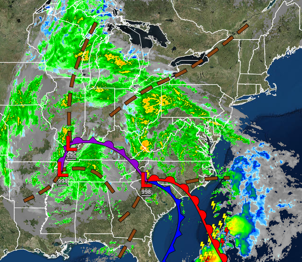
A warm front will approach the region with increasing clouds and scattered showers developing in the late morning and afternoon hours. Winds will be from the east at 10 to 20 mph with gusts over 25 mph throughout the region. Temperatures will rise into the lower to mid-50s over the interior and upper 50s to lower 60s along the coast for highs.
TONIGHT INTO TOMORROW MORNING
A warm front will lift through the region with periods of rain, heavy at times. Winds will veer from the east to the southeast at 10 to 20 mph with gusts up to 40 mph inland and 15 to 30 mph with gusts up to 50 mph along the coast. Flash flooding will be a threat, especially around midnight. Meanwhile, coastal flooding will be a threat, especially for the New Jersey coast and around the southern Delaware River for tides 1 to 3 feet above normal
tides, which will support minor to moderate coastal flooding. Temperatures will fall into the mid to upper 40s over the interior and lower to mid-50s along the coast for lows.
TOMORROW
An area of low pressure and cold front will lift through the region with scattered showers throughout the day. Winds will veer to the west at 5 to 15 mph. Temperatures will rise into the mid-50s to lower 60s over the interior and mid to upper 60s along the coast for highs.
HALLOWEEN SUNDAY
Scattered clouds with an isolated shower are possible. Winds will be from the west at 5 to 15 mph with gusts up to 25 mph at times in the afternoon. Temperatures will range from the mid to upper 40s over the interior and lower to mid-50s along the coast for lows and lower to mid-50s over the interior and upper 50s to mid-60s along the coast for highs.
MONDAY
High pressure will produce clear skies to scattered clouds. Temperatures will range from the upper 30s to lower 40s over the interior and mid-40s to lower 50s along the coast for lows and upper 50s to lower 60s over the interior and lower to mid-60s along the coast for highs.
TUESDAY THROUGH THURSDAY
A series of cold fronts will produce scattered clouds with isolated showers. Temperatures through the period will range from the lower to mid-30s over the interior and upper 30s to mid-40s along the coast for lows and mid to upper 40s over the interior and upper 40s to mid-50s along the coast for highs.
FRIDAY
An area of low pressure will pass through the coastal waters with periods of rain along the coast and a mix of snow and rain over the higher elevations of the Poconos and Catskills. Some minor snow accumulation would be possible for the highest elevations. Temperatures will range from the upper 20s to lower 30s over the interior and mid to upper 30s along the coast for lows and lower to mid-40s over the interior and mid to upper 40s along the coast for
highs.