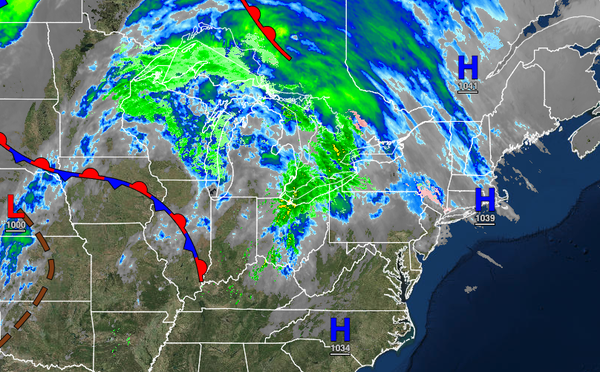
A warm front will bring the threat of showers to the forecast by this evening. A more significant precipitation event is developing for this weekend.
TODAY
High pressure will shift off the coast with scattered to broken cloud cover in the afternoon. Winds will veer from the northeast to the east at 5 to 15 mph. Temperatures will rise into the upper 40s to lower 50s over the interior and mid to upper 50s along the coast for highs.
TONIGHT THROUGH TOMORROW
A warm front will approach the region with scattered to broken clouds and isolated showers. Winds will veer to the southwest at 5 to 15 mph. Temperatures will range from the lower to mid-40s over the interior and upper 40s to lower 50s along the coast for lows and mid to upper 50s over the interior and upper 50s to lower 60s along the coast for highs.
FRIDAY
A cold front will approach the region with scattered to broken cloud cover and isolated showers through the morning. Scattered clouds are expected in the afternoon. Winds will be from the west at 5 to 15 mph. Temperatures will range from the upper 30s to mid-40s over the interior and upper 40s to lower 50s along the coast for lows and upper 40s to lower 50s over the interior and mid-50s along the coast for highs.
SATURDAY
An area of low pressure will approach the region with periods of rain developing throughout the region, mixing over to snow and sleet for the northern interior. Accumulating snowfall will be possible to the north and northwest of the major cities in the evening hours. Temperatures will range from the lower to mid-30s over the interior and upper 30s to mid-40s along the coast for lows and mid to upper 30s over the interior and mid-40s to lower 50s along
the coast for highs.
SUNDAY
The low-pressure system will exit with periods of snow and sleet over the interior and rain mixing over to snow along the coast in the morning hours. Skies will clear towards the afternoon. Snow and ice accumulation will be a threat north and west of the major cities while a trace of snow is possible along the coast. Temperatures will range from the upper 20s to lower 30s over the interior and lower to mid-30s along the coast for lows and upper
20s to lower 30s over the interior and mid to upper 30s along the coast for highs.
MONDAY THROUGH WEDNESDAY
High pressure will produce clear skies to scattered cloud cover through Wednesday. Temperatures through the period will range from the upper 10s to mid-20s over the interior and mid-20s to lower 30s along the coast for lows and mid-30s to lower 40s over the interior and upper 30s to mid-40s along the coast for highs.