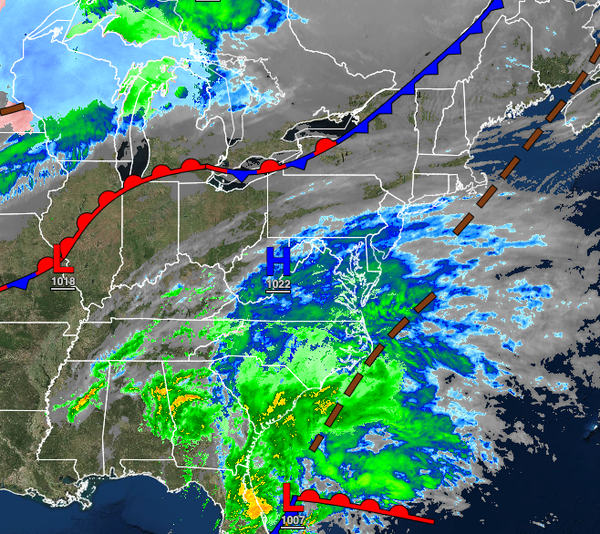
A powerful storm off the Southeast coast will remain well to the east of the region, but some limited impacts are expected.
TODAY
A weak cold front will follow with scattered cloud cover. Winds will veer to the northwest at 5 to 15 mph. Temperatures will rise into the upper 30s to lower 40s for highs.
TONIGHT
High pressure will exit the region with increasing clouds towards morning. Winds will be from the northeast at 5 to 15 mph. Temperatures will fall into the mid-20s to lower 30s over the interior and mid-30s to lower 40s along the coast for lows.
TOMORROW
An area of low pressure will pass well southeast of the region with scattered clouds and a few flurries and isolated showers in the afternoon. Winds will back from the northeast to the northwest at 5 to 15 mph. Temperatures will rise into the upper 30s to lower 40s over the interior and lower to mid-40s along the coast for highs.
THURSDAY
High pressure will produce tranquil weather conditions. Winds will be from the northwest at 5 to 15 mph. Temperatures will range from the lower to mid-20s over the interior and mid to upper 20s along the coast for lows and lower to mid-30s over the interior and upper 30s to lower 40s along the coast for highs.
FRIDAY (CHRISTMAS EVE)
A warm front will approach the region with increasing clouds and scattered showers by the evening. Temperatures will range from the upper 20s to lower 30s over the interior and lower to mid-30s along the coast for lows and mid to upper 40s over the interior and mid-40s to lower 50s along the coast for highs.
SATURDAY (CHRISTMAS)
A cold front will follow in the morning with a few scattered showers followed by clearing skies in the afternoon. Temperatures will range from the upper 30s to mid-40s over the interior and mid to upper 40s along the coast for lows and lower to mid-40s over the interior and upper 40s to lower 50s along the coast for highs.
SUNDAY
A wave of low pressure along the stationary front will produce periods of showers. Temperatures will range from the mid to upper 30s over the interior and upper 30s to lower 40s along the coast for lows and upper 30s to lower 40s over the interior and mid to upper 40s along the coast for highs.
MONDAY
High pressure will produce clear skies to scattered clouds. Temperatures will range from the mid to upper 20s for lows and lower to mid-40s over the interior and mid to upper 40s along the coast for highs.
TUESDAY
Another area of low pressure will produce periods of rain. Temperatures will range from the upper 30s to lower 40s for lows and mid to upper 40s over the interior and upper 40s to lower 50s along the coast for highs.