TUESDAY
Another area of low pressure will produce isolated to widely scattered showers. Winds will be from the northeast at 5 to 15 mph. Temperatures will range from the lower to mid-30s for lows and upper 30s to lower 40s over the interior and lower to mid-40s along the coast for highs.
WEDNESDAY
A weak trough will support the development of scattered rain and snow showers over the region. Temperatures will range from the mid to upper 20s over the interior and lower to mid-30s along the coast for lows and mid to upper 30s for highs.
THURSDAY
Another low-pressure system will produce periods of snow, sleet, and rain. Temperatures will range from the lower to mid-30s over the interior and mid to upper 30s along the coast for lows and lower to mid-40s over the interior and mid to upper 40s along the coast.
FRIDAY
High pressure will produce scattered cloud cover. Temperatures will range from the upper 10s to the lower 20s over the interior and mid-20s to lower 30s along the coast for lows and lower to mid-30s over the interior and mid-30s to lower 40s along the coast for highs.
SATURDAY
Scattered clouds are expected through the day. Temperatures will range from the lower to mid-20s over the interior and mid to upper 20s along the coast for lows and upper 30s to lower 40s for highs.
SUNDAY
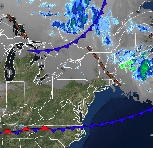
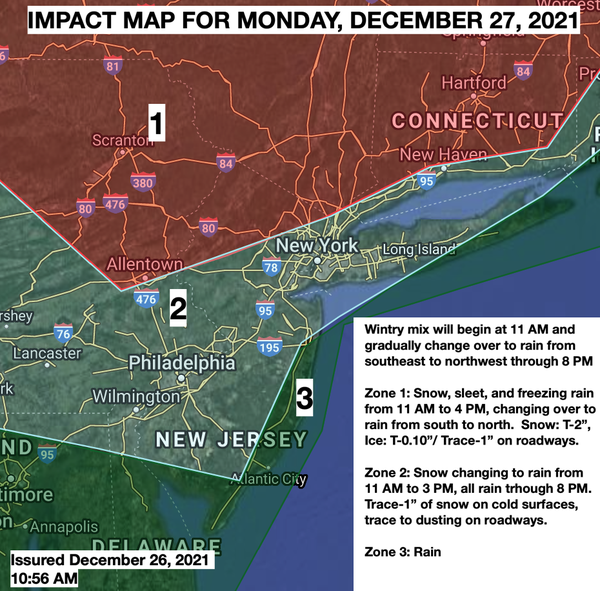
An area of low pressure will produce periods of snow, sleet, and rain over the interior and rain along the coast. The wintry mix and rain will gradually mix over to snow before ending. Some snow and ice accumulation is possible. Temperatures will range from the upper 20s to lower 30s over the interior and mid-30s to mid-40s along the coast for lows and mid to upper 30s over the interior and lower 40s to lower 50s along the coast for highs.
Temperatures will fall through the 40s, 30s, and 20s in the afternoon and evening hours.