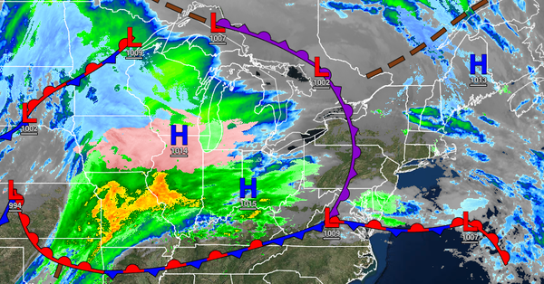
An active weather pattern will continue into the New Year with most locations expecting rainfall, but a turn to colder weather is expected to follow.
TODAY
Scattered clouds with a few isolated rain and snow showers are expected through tomorrow afternoon. Winds will veer to the northeast at 5 to 15 mph. Temperatures will rise into the lower to mid-40s over the interior and upper 40s to lower 50s along the coast for highs
TONIGHT
An area of low pressure will move through the region with periods of showers along the coast and periods of snow showers in the Poconos, Catskills, Hudson River Valley, and northwestern Connecticut with some light snowfall accumulation of a trace to 2" for elevations above 700 feet. Winds will be from the northeast at 5 to 15 mph. Temperatures will fall into the lower to mid-30s over the interior and upper 30s to lower 40s along the coast for
lows.
TOMORROW
A weak trough will support the development of scattered rain and snow showers over the region. Winds will be from the northeast at 5 to 15 mph. Temperatures will rise into the lower to mid-40s over the interior and upper 40s to lower 50s along the coast for highs.
THURSDAY
Another low-pressure system will produce periods of showers throughout the region. Winds will back to the northwest at 5 to 15 mph. Temperatures will range from the upper 30s to lower 40s for lows and mid to upper 40s over the interior and upper 40s to lower 50s along the coast for highs.
FRIDAY
High pressure will produce scattered cloud cover. Temperatures will range from the mid to upper 30s over the interior and upper 30s to lower 40s along the coast for lows and mid to upper 40s over the interior and upper 40s to lower 50s along the coast for highs.
SATURDAY
A cold front will slowly approach with widely scattered showers in the morning becoming widespread by the afternoon. Temperatures will range from the lower to mid-40s for lows and mid to upper 50s over the interior and lower to mid-60s along the coast for highs.
SUNDAY
An area of low pressure will produce periods of rain throughout the region. The rain will gradually mix over to sleet and snow before ending. Some snow and ice accumulation is possible for higher elevations. Temperatures will range from the upper 40s to lower 50s over the interior and mid to upper 50s along the coast for morning lows and lower to mid-50s over the interior and upper 50s to lower 60s along the coast for highs. Temperatures
will fall through the 40s, 30s, and 20s in the afternoon and evening.
MONDAY AND TUESDAY
High pressure will build into the region with scattered clouds and a few flurries, especially in the Poconos and Catskills. Temperatures will range from the upper 10s to the lower 20s over the interior and mid to upper 20s along the coast for lows and upper 20s to lower 30s over the interior and mid to upper 30s along the coast for highs.