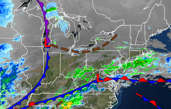
A warm, active pattern will continue through New Year's Day Weekend with heavy rainfall and near-record highs this weekend. Temperatures crash on the first Monday of 2022.
TODAY
A weak trough will support the development of scattered showers over the region. Winds will be from the northeast at 5 to 15 mph. Temperatures will rise into the mid to upper 40s over the interior and upper 40s to lower 50s along the coast for highs.
TONIGHT
Scattered to broken clouds are expected with an isolated shower possible. Winds will be from the northeast at 5 to 10 mph. Temperatures will fall into the upper 30s to lower 40s over the interior and lower to mid-40s along the coast for lows.
TOMORROW
An area of low pressure will produce scattered showers and cloudy skies. Winds will back from the northeast to the northwest at 5 to 15 mph. Temperatures will rise into the mid to upper 40s over the interior and lower to mid-50s along the coast for highs.
FRIDAY(NEW YEAR'S EVE)
High pressure will produce scattered cloud cover. Winds will be from the northwest at 5 to 15 mph. Temperatures will range from the mid to upper 30s over the interior and upper 30s to lower 40s along the coast for lows and mid to upper 40s over the interior and upper 40s to lower 50s along the coast for highs.
SATURDAY (NEW YEAR'S DAY)
A cold front will slowly approach with widely scattered showers in the morning becoming widespread by the afternoon. Windy conditions can be expected. Temperatures will range from the lower to mid-40s for lows and mid to upper 50s over the interior and lower to mid-60s along the coast for highs.
SUNDAY
An area of low pressure will produce periods of rain throughout the region. The rain will gradually mix over to sleet and snow before ending. Some snow and ice accumulation is possible for higher elevations. Temperatures will range from the upper 40s to lower 50s over the interior and mid to upper 50s along the coast for morning lows and lower to mid-50s over the interior and upper 50s to lower 60s along the coast for highs. Temperatures
will fall through the 40s, 30s, and 20s in the afternoon and evening.
MONDAY THROUGH WEDNESDAY
High pressure will build into the region with scattered clouds and a few flurries, especially in the Poconos and Catskills. Temperatures on Monday will range from the mid to upper 10s over the interior and lower to mid-20s along the coast for lows and upper 20s to lower 30s over the interior and lower to mid-30s along the coast for highs. Temperatures on Tuesday will range from the lower to mid-20s over the interior and mid to upper 20s along the coast
for lows and mid to upper 30s over the interior and lower to mid-40s along the coast for highs. Temperatures on Wednesday will range from the lower to mid-20s over the interior and mid to upper 20s along the coast for lows and lower to mid-30s over the interior, mid to upper 30s in the New York City metropolitan area, and lower to mid-40s over the Philadelphia metropolitan area for highs.