Low clouds and dense fog this morning will give way to clearing skies for this evening. A stormy pattern takes hold this weekend with rain and a harsh temperature crash. A winter storm threat is brewing for next week.
TODAY
Areas of fog and low clouds will give way to scattered cloud cover by late this morning through this afternoon. Winds will be from the northwest at 5 to 10 mph. Temperatures will rise into the lower to mid-50s for highs.
TONIGHT
Clouds will increase through midnight with isolated showers developing towards morning. Winds will veer to the southeast at 5 to 10 mph. Temperatures will fall into the lower to mid-40s over the interior and mid to upper 40s along the coast for lows.
TOMORROW (NEW YEAR'S DAY)
A cold front will slowly approach with widely scattered showers in the morning becoming widespread by the afternoon. Winds will be from the south at 10 to 20 mph with gusts over 30 mph at times. Temperatures will range from the lower to mid-40s over the interior and upper 40s to lower 50s along the coast for lows and lower to mid-50s over the interior and New York City metropolitan area and upper 50s to mid-60s in the Philadelphia metropolitan area for
highs.
SUNDAY
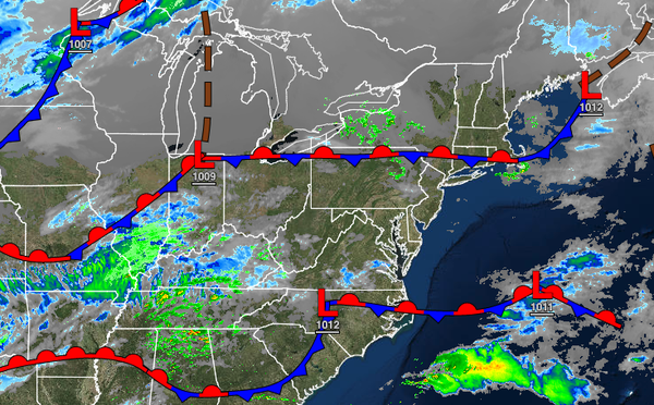
An area of low pressure along the cold front will produce periods of rain throughout the region. The rain will gradually mix over to sleet and snow before ending in the evening hours from northwest to southeast. Winds will veer from the southwest to the northwest at 5 to 15 mph. Temperatures will range from the upper 30s to mid-40s over the interior and upper 40s to lower 50s along the coast for lows and lower to mid-40s over the interior, upper
40s to mid-50s in the New York City metropolitan area, and upper 50s to mid-60s in the Philadelphia metropolitan area for highs. Temperatures will fall through the 40s, 30s, and 20s in the afternoon and evening hours as the cold front exits with rain showers mixing over to snow showers from northwest to southeast.
MONDAY
The low-pressure system will exit with lingering snow showers and flurries in the early morning hours followed by clearing skies and windy conditions. Temperatures will range from the upper 10s to the lower 20s over the interior and mid to upper 20s along the coast for lows and mid to upper 20s over the interior and lower to mid-30s along the coast for highs.
TUESDAY
High pressure will produce scattered clouds. Temperatures will range from the lower to mid-20s for lows and upper 30s to lower 40s for highs.
WEDNESDAY
A cold front will move through the region with isolated showers a threat. Temperatures will range from the upper 20s to mid-30s over the interior and upper 30s to mid-40s along the coast for lows and mid to upper 40s over the interior and upper 40s to lower 50s along the coast for highs.
THURSDAY
An area of low pressure will approach the region from the Tennessee River Valley with increasing clouds through the day and a wintry mix of snow, sleet, and rain by the evening hours. Temperatures will range from the lower to mid-20s over the interior and upper 20s to lower 30s along the coast for lows and mid-2os to lower 30s over the interior and mid to upper 30s along the coast for highs.
FRIDAY
An area of low pressure will redevelop off the coast on Friday morning and is expected to intensify with snowfall over the interior and a wintry mix changing over to snowfall along the coast. There is potential for accumulating snowfall, however, the details are uncertain. There is potential the storm could reform too far east and miss the region entirely. Temperatures will range from the mid-10s over the interior and upper 10s to mid-20s along
the coast for lows and mid-10s to lower 20s over the interior and mid-20s to mid-30s along the coast for highs.