SATURDAY
Scattered clouds to clear skies are expected. Winds will be from the northwest at 5 to 15 mph. Temperatures will range from the single digits to mid-10s over the interior and upper 10s to lower 20s along the coast for lows and lower to mid-20s over the interior and upper 20s to lower 30s along the coast for highs.
SUNDAY
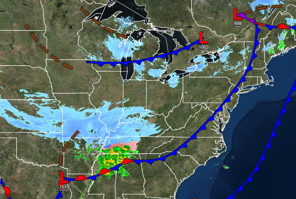
A cold front will pass through the region with scattered rain and snow showers. Temperatures will range from the mid to upper 10s over the interior and lower to mid-20s along the coast for lows and mid to upper 30s over the interior and upper 30s to lower 40s along the coast for highs.
MONDAY
Scattered clouds with flurries and a few lake-effect snow showers, especially in the Poconos and Catskills, can be expected. Temperatures will range from the upper 10s to mid-20s over the interior and upper 20s to lower 30s along the coast for lows and mid-20s to lower 30s over the interior and mid to upper 30s along the coast for highs.
TUESDAY AND WEDNESDAY
High pressure will produce clear but cold weather conditions. Temperatures on Tuesday will range from the lower to mid-10s over the interior and upper 10s to lower 20s along the coast for lows and mid to upper 10s over the interior and lower to mid-20s along the coast for highs. Temperatures on Wednesday will range from the single digits to mid-10s for lows and lower to mid-20s for highs.
THURSDAY
A weak trough will pass through the region with a few isolated rain and snow showers. Otherwise, scattered clouds are expected. Temperatures will range from the mid to upper 10s over the interior and lower to mid-20s along the coast for lows and mid to upper 30s over the interior and upper 30s to mid-40s along the coast for highs.