Tranquil conditions will be in place through the weekend with moderating temperatures. A strong cold front brings a return to a colder and more unsettled weather pattern by next week.
TODAY
High pressure will pass over the region with clear skies to scattered cloud cover. Winds will veer to the northeast at 5 to 15 mph. Temperatures will rise into the lower to mid-40s over the interior and mid to upper 40s along the coast for highs.
TONIGHT THROUGH TOMORROW
High pressure will exit the region with increasing clouds throughout the day. Winds will be from the southwest at 5 to 15 mph. Temperatures will range from the mid to upper 30s over the interior and upper 30s to mid-40s along the coast for lows and upper 40s to lower 50s over the interior and mid to upper 50s along the coast for highs.
MONDAY
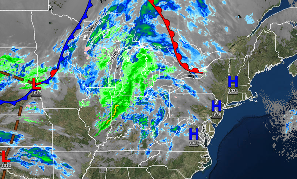
A cold front will produce periods of rain, heavy at times, in the morning hours. Scattered cloud cover with widely scattered rain and snow showers are expected in the afternoon and evening. Winds will veer to the west at 5 to 15 mph with gusts up to 25 mph. Temperatures will hold throughout the day in the lower to mid-40s over the interior, upper 40s to lower 50s in the Delaware River Valley, and lower to mid-50s along the coast.
TUESDAY
An area of low pressure will intensify well east of the region which will force troughs of low pressure through the area supporting scattered clouds along with widely scattered rain and snow showers. Windy conditions are expected. Temperatures will range from the lower to mid-20s over the interior and upper 20s to mid-30s along the coast for lows and lower to mid-30s over the interior and upper 30s to lower 40s along the coast for highs.
WEDNESDAY
Scattered clouds are expected with windy conditions. A few snow showers will be a threat for the Poconos and Catskills with minor snow accumulation. Temperatures will range from the mid to upper 20s over the interior and upper 20s to lower 30s along the coast for lows and mid to upper 30s over the interior and lower to mid-40s along the coast for highs.
THANKSGIVING
Scattered clouds are expected with high-pressure building into the region. Temperatures will range from the upper 20s to lower 30s over the interior and mid to upper 30s along the coast for lows and mid to upper 40s over the interior and lower to mid-50s along the coast for highs.
FRIDAY
High-pressure will produce clear skies to scattered clouds. Temperatures will range from the lower to mid-40s for lows and upper 40s to lower 50s over the interior and mid to upper 50s along the coast for highs.
SATURDAY
Scattered clouds are expected with a few snow flurries possible. Temperatures will range from the lower to mid-20s for lows and lower to mid-30s over the interior and mid to upper 30s along the coast for highs.