Strong cold fronts will bookend the week with periods of rain followed by chilly conditions. Thanksgiving day is expected to be tranquil and mild.
TODAY
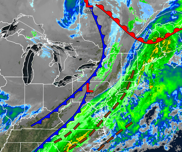
A cold front will clear the region with periods of showers through this morning with clearing skies by noon. Winds will veer from the southwest to the northwest at 5 to 15 mph with gusts up to 25 mph at times. Temperatures will hold in the lower to mid-40s over the interior and upper 40s to mid-50s along the coast.
TONIGHT THROUGH TOMORROW
A series of troughs will pass through the region with scattered clouds and a few flurries. Snow showers will be a threat for the Poconos and Catskills with snow accumulation of a dusting to an inch possible for elevations above 1,000 feet. Winds will be from the northwest at 5 to 15 mph. Temperatures will range from the lower to mid-20s over the interior and upper 20s to lower 30s along the coast for lows and mid to upper 30s over the interior
and lower to mid-40s along the coast for highs.
WEDNESDAY
High pressure will build into the region with clear skies to scattered cloud cover. Winds will be from the northwest at 5 to 15 mph. Temperatures will range from the mid to upper 20s over the interior and upper 20s to lower 30s along the coast for lows and lower to mid-40s for highs.
THANKSGIVING
High pressure will exit the region with increasing clouds throughout the day. Temperatures will range from the upper 20s to mid-30s for lows and mid to upper 40s over the interior and lower to mid-50s along the coast for highs.
FRIDAY
A strong cold front will follow with periods of rain, mixing with sleet and snow at times for the higher elevations. Temperatures will range from the mid to upper 30s over the interior and lower to mid-40s along the coast for lows and upper 30s to lower 40s over the interior and mid to upper 40s along the coast for highs.
SATURDAY THROUGH MONDAY
A series of troughs and cold fronts will pass through the region with scattered clouds and flurries. Some steadier snow showers will be a threat for the Poconos and Catskills with minor snow accumulation. Temperatures on Saturday will range from the upper 20s to mid-30s for lows and lower to mid-30s over the interior and upper 30s to lower 40s along the coast for highs. Temperatures on Sunday will range from the lower to mid-20s over the interior
and upper 20s to lower 30s along the coast for lows and mid to upper 30s over the interior and upper 30s to lower 40s along the coast for highs. Temperatures on Monday will range from the lower to mid-20s over the interior and upper 20s along the coast for lows and upper 20s to lower 30s over the interior and mid to upper 30s along the coast for highs.