Waves of rainfall will continue through this evening. An active weather pattern will continue into next weekend with the threat of rainfall.
TODAY
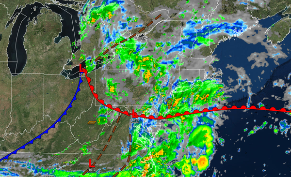
An area of low pressure will produce periods of showers, possibly heavy at times. Winds
will be from the southeast at 5 to 15 mph. Rainfall amounts of 0.50" to 1.50" are expected, with locally higher amounts possible. Temperatures will rise into the mid to upper 70s over the interior and along the coast and upper 70s to lower 80s in the Delaware River Valley for highs.
TONIGHT
Showers will linger as the low-pressure system exists. Winds
will back to the southwest at 5 to 15 mph. Temperatures will fall into the mid to upper 60s for lows.
TOMORROW
The area of low pressure will exit with scattered clouds and widely scattered showers. Winds will be from the southwest at 5 to 15 mph. Temperatures will rise into the mid to upper 70s over the interior, upper 70s to lower 80s along the
coast, and lower to mid-80s in the Delaware River Valley for highs.
TOMORROW NIGHT
Showers will linger as the low-pressure system exists. Winds will back to the southwest at 5 to 15 mph. Temperatures will fall into the upper 50s to lower 60s over the interior and mid to upper 60s along the coast for lows.
WEDNESDAY
High pressure will build south into the region with clearing skies. Winds will be from the west at 5 to 15 mph. Temperatures will rise into the upper 70s to lower 80s over the interior and mid to upper 80s for highs.
THURSDAY
High pressure will produce
clear skies to scattered clouds. Temperatures will range from the lower to mid-60s over the interior and mid to upper 60s along the coast for lows and mid to upper 80s over the interior and upper 80s to lower 90s along the coast for highs.
FRIDAY
An area of low pressure will slowly move through the region with scattered showers, heavy at times. Temperatures
will range from the upper 60s to lower 70s for lows and lower to mid-80s along the coast and mid to upper 80s away from the coast for highs.
SATURDAY
The low-pressure system and cold front will slowly exit the region with widely scattered showers. Temperatures will range from the lower to mid-60s over the interior and upper 60s to lower 70s along the coast for lows
and upper 70s to lower 80s over the interior, lower to mid-80s along the coast, and mid to upper 80s in the Delaware River Valley for highs.
SUNDAY
A stationary front along the coast will produce overcast skies and scattered showers throughout southeastern Pennsylvania and southern New Jersey. Meanwhile, high pressure over the Great Lakes will produce scattered
cloud cover throughout central New Jersey, northern New Jersey, northeastern Pennsylvania, southeastern New York, and Connecticut. Temperatures will range from the mid to upper 60s over the interior and upper 60s to lower 70s along the coast for lows and upper 70s to lower 80s for highs.
MONDAY
A stationary front will continue to linger along the coast with
scattered clouds and isolated showers in southeastern Pennsylvania and southern New Jersey. Scattered clouds are expected for northeastern Pennsylvania, central New Jersey, northern New Jersey, southeastern New York, and Connecticut. Temperatures will range from the lower to mid-60s over the interior and upper 60s to lower 70s along the coast for lows and lower to mid-80s for highs.