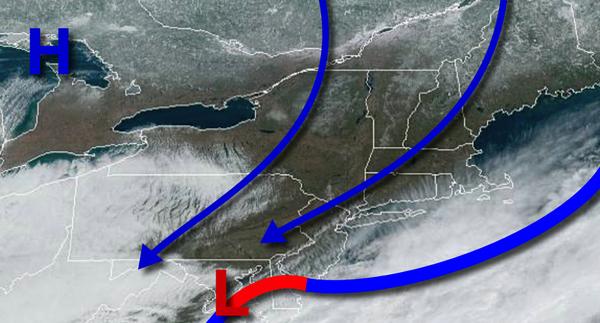
An area of low pressure will pass through the region with periods of rain for most of the region. However, snow will develop and mix with rain for higher elevations like the Poconos, Catskills, and Hudson Highlands. Winds will be from the east at 10 to 20 mph. Temperatures will range from the lower to mid-30s over the interior and upper 30s to lower 40s along the coast for lows and mid-30s to lower 40s over the interior, mid-40s to lower
50s in the New York City metro, and mid to upper 50s in the Philadelphia metro area.
Skies will clear on Tuesday as the storm departs the region. Temperatures will range from the mid to upper 30s for lows and mid to upper 50s for highs.
A cold front will follow on Wednesday with scattered showers expected. Temperatures will range from the upper 30s to mid-40s for lows and lower to mid-40s over the interior, upper 40s to mid-50s in the New York City metro, and upper 50s to mid-60s in the Philadelphia metro.
High pressure will be in control on Thursday and Friday with scattered clouds expected. Temperatures will range from the upper 30s to mid-40s for lows and mid-50s to lower 60s for highs.