Tranquil conditions today will give way to another round of rain and snow for the region tomorrow. An active weather pattern continues.
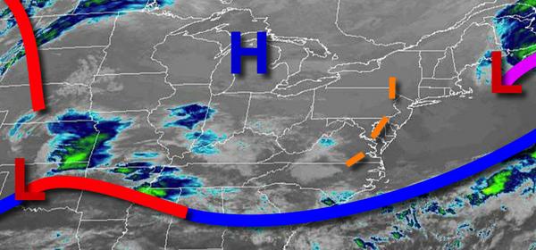
High pressure will pass over the region today with clear skies to scattered cloud cover. Winds will veer from the northwest to southeast at 5 to 15 mph. Temperatures will rise into the lower to mid-50s for highs.
An area of low pressure will pass through the coastal water tomorrow with periods of rain for most of the region. A mix of rain and snow is expected for the higher elevations, however little to no accumulation is expected. Winds will back to the northeast at 10 t0 20 mph, 15 to 25 mph with gusts over 30 mph along the coast. Temperatures will range from the lower to mid-30s over the interior and upper 30s to lower 40s along the coast for
lows and lower to mid-40s over the interior and mid to upper 40s along the coast for highs.
Scattered clouds are expected tomorrow night through Thursday. Winds will be from the north at 5 mph. Temperatures on Thursday will range from the lower to mid-30s for lows and upper 50s to mid-60s for highs.
A weak cold front will move through the region on Friday with isolated showers. An area of low pressure will follow on Saturday with periods of rain. Temperatures on Friday will range from the lower to mid-40s for lows and lower to mid-60s for highs. Temperatures on Saturday will range from the upper 30s to mid-40s for lows and lower to mid-40s over the interior and upper 40s to mid-50s for highs.
High pressure will be in control on Sunday and Monday with scattered cloud cover. Temperatures on Sunday will range from the lower to mid-40s over the interior and upper 40s to mid-50s along the coast for lows and upper 60s to mid-70s for highs. Temperatures on Monday will range from the upper 30s to lower 40s for lows and lower to mid-50s for highs.