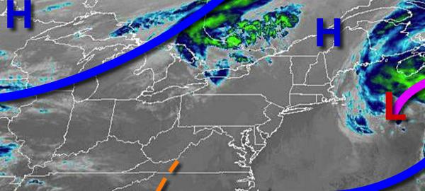
Tranquil conditions are in place today but an active weather pattern returns tomorrow on through next week.
High pressure will pass over the region today with clear skies to scattered clouds. Winds will be from the southwest at 5 to 10 mph. Temperatures will rise into the mid to upper 50s for highs.
A weak cold front will follow tomorrow with isolated to widely scattered showers. Winds will veer to the northwest at 5 to 10 mph. Temperatures tomorrow will range from the lower to mid-40s over the interior and mid to upper 40s along the coast for lows and lower to mid-60s for highs.
The cold front will stall to the south and then lift north as a warm front on Saturday with periods of showers. Winds will be from the east at 5 to 15 mph. Temperatures on Saturday will range from the mid to upper 30s over the interior and lower to mid-40s along the coast for lows and upper 40s to lower 50s for highs.
An area of low pressure will lift through the region with periods of showers on Sunday. Temperatures on Sunday will range from the lower to mid-40s over the interior and upper 40s to lower 50s along the coast for lows and upper 40s to lower 50s over the interior, mid-50s to lower 60s in the New York City metro, and mid-60s to lower 70s in the Philadelphia metro.
High pressure will be in control on Monday and Tuesday with clear skies to scattered cloud cover. Temperatures on Monday will range from the upper 30s to mid-40s over the interior and upper 40s to lower 50s along the coast for lows and upper 50s to lower 60s over the interior and mid to upper 60s along the coast for highs. Temperatures on Tuesday will range from the mid-30s to lower 40s for lows and upper 40s to mid-50s for
highs.
An area of low pressure will produce periods of rain along the coast and a mix of snow and rain changing over to rain over higher elevations for the Poconos and Catskills on Wednesday. Temperatures on Wednesday will range from the mid-30s over the interior and upper 30s to mid-40s along the coast for lows and upper 30s to mid-40s over the interior and upper 40s to mid-50s along the coast for highs.