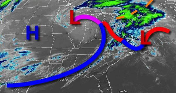
Showers and a few thunderstorms are a threat through this afternoon as a cold front approaches the region. A threat for showers will linger on through the new week.
A cold front will move through the region by this afternoon with periods of showers and a few isolated thunderstorms. The thunderstorms will be capable of brief heavy downpours, occasional lightning, and wind gusts up to 40 mph. Winds will veer from the southeast to southwest at 5 to 15 mph. Temperatures will rise into the upper 40s to lower 50s over the interior, lower to mid-50s in the New York City metro, and upper 50s to mid-60s
in the Philadelphia metro for highs.
A series of weak troughs of low-pressure will rotate through the region tonight on through Tuesday with scattered clouds and isolated showers. Winds will veer to the northwest at 5 to 10 mph. Temperatures tomorrow will range from the lower to mid-40s over the interior and upper 40s to lower 50s along the coast for lows and upper 50s to lower 60s over the interior and mid to upper 60s along the coast for highs. Temperatures on
Tuesday will range from the upper 30s to mid-40s for lows and mid to upper 40s for highs.
A cold front will follow on Wednesday with isolated to widely scattered showers. Temperatures will range from the upper 30s to lower 40s for lows and upper 40s to lower 50s for highs.
High pressure will be in control Thursday through Saturday with scattered cloud cover. Temperatures on Thursday will range from the lower to mid-30s over the interior and mid to upper 30s along the coast for lows and mid-50s to lower 60s for highs. Temperatures on Friday will range from the mid to upper 30s for lows and lower to mid-50s for highs. Temperatures on Saturday will range from the lower to mid-40s for lows and lower
to mid-50s for highs.