While an isolated shower is a threat through tomorrow, more sunshine can be expected for most locations. Pleasant weather expected this weekend.
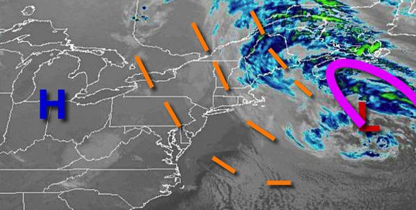
A series of weak troughs will rotate through the region through tomorrow evening with scattered to broken cloud cover and isolated showers. A few showers will be capable of brief heavy downpours. Winds will be from the northwest at 10 to 20 mph with gusts over 25 mph through this afternoon. Winds will subside to 5 to 15 mph tonight through tomorrow. Temperatures will rise
into the lower to mid-50s over the interior and mid to upper 50s along the coast for highs. Temperatures tomorrow will range from the upper 30s to mid-40s for lows and lower to mid-50s for highs.
High pressure will build into the region tomorrow night through Saturday. Winds will be from the north at 5 to 10 mph. Temperatures on Saturday will range from the lower to mid-40s for lows and mid-50s for highs.
High pressure will exit the region on Sunday with scattered cloud cover. Temperatures on Sunday will range from the upper 30s to lower 40s for lows and upper 50s to lower 60s for highs.
A cold front will follow on Monday with isolated showers. Temperatures on Monday will range from the upper 30s to lower 40s over the interior and mid to upper 40s along the coast for lows and lower to mid-60s for highs.
A warm front will follow on Tuesday and Wednesday with scattered to broken clouds and isolated to widely scattered showers. Fog will be a threat in the morning. Temperatures on Tuesday will range from the mid to upper 40s for lows and lower to mid-60s over the interior, mid to upper 60s in the New York City metros, and upper 60s to lower 70s in the Philadelphia metro for highs. Temperatures on Wednesday will range from the mid to
upper 50s for lows and lower to mid-60s over the interior and mid-60s to lower 70s along the coast for highs.