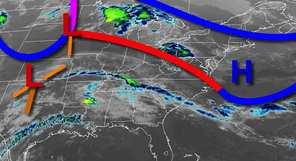
A stationary front and waves of low pressure will keep showers in place with some strong thunderstorms possible by Thursday. A wide range of temperatures is expected.
A warm front will approach and then stall over the region today on through tomorrow with variable clouds and isolated to widely scattered showers. Winds will be from the southwest at 5 to 10 mph through tomorrow morning, increasing from the west at 10 to 20 mph by tomorrow afternoon. Temperatures today will rise into the upper 50s to mid-60s for highs. Temperatures tomorrow will range from the lower to mid-40s over the interior
and upper 40s to lower 50s along the coast for lows and upper 50s to mid-60s over the interior and New York City metro and mid-60s to lower 70s in the Philadelphia metro for highs.
A cold front will follow on Thursday with periods of showers and isolated thunderstorms. The thunderstorms will be capable of heavy downpours, occasional lightning, and wind gust over 35 mph. Temperatures on Thursday will range from the mid-30s to lower 40s over the interior and lower to mid-40s along the coast for lows and upper 50s to mid-60s over the interior and New York City metro and mid-60s to lower 70s in the Philadelphia metro for
highs.
High pressure will produce clear skies to scattered cloud cover with windy conditions on Friday and Saturday. Temperatures on Friday will range from the mid-30s to lower 40s for lows and mid to upper 40s for highs. Temperatures on Saturday will range from the lower to mid-30s for lows and lower to mid-50s for highs.
An area of low pressure will produce periods of rain, heavy at times, Sunday afternoon on through Monday morning. Skies will clear on Monday afternoon. Temperatures on Sunday will range from the upper 20s to mid- 30s for lows and upper 50s to lower 60s for highs. Temperatures on Monday will range from the lower to mid-50s for lows and mid to upper 60s on Long Island, upper 60s to lower 70s over the interior and New York City metro, and
mid to upper 70s over the Philadelphia metro areas.