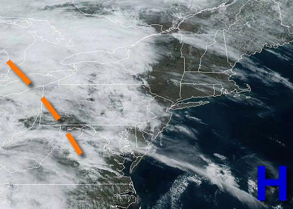
Tranquil weather conditions will continue through Easter, but a powerful storm will approach by tonight. Heavy rain, powerful wind gusts, and even hail will produce dangerous conditions by tomorrow.
High pressure will exit today with increasing clouds by this afternoon. Winds will be from the southeast at 5 to 15 mph. Temperatures will rise into the upper 50s to mid-60s for highs.
An area of low pressure will approach tonight with a warm front producing periods of showers towards midnight, becoming heavy at times tomorrow morning. Winds will veer to the south at 10 to 20 mph. Temperatures will fall into the lower to mid-50s for lows.
A cold front will follow tomorrow afternoon as the low-pressure systems lift into the Great Lakes. Waves of heavy rainfall and strong to severe thunderstorms can be expected. Rainfall amounts over 1" will produce areas of flooding and poor visibility. Meanwhile, the severe thunderstorms will be capable of wind gusts over 60 mph, hail, and frequent lightning. Winds will veer from the south to west at 15 to 30 mph with gusts
over 40 mph. Temperatures will rise into the lower to mid-60s on Long Island and mid-60s to lower 70s elsewhere for highs.
Skies will clear on Tuesday as high pressure briefly builds into the region. Winds will be from the west at 5 to 15 mph. Temperatures will range from the upper 30s to mid-40s for lows and lower to mid-50s over the interior and mid to upper 50s along the coast.
A cold front will follow on Wednesday with periods of showers. Temperatures will range from the mid-30s to lower 40s for lows and lower to mid-40s for highs.
High pressure will be in control on Thursday and Friday with clear skies to scattered cloud cover. Temperatures on Thursday will range from the upper 20s to mid-30s for lows and upper 40s to lower 50s over the interior and mid to upper 50s along the coast for highs. Temperatures on Friday will range from the mid-20s to lower 30s for lows and upper 40s to mid-50s for highs.
An area of low pressure will produce periods of showers on Saturday. Temperatures on Saturday will range from the mid-30s to lower 40s for lows and lower to mid-50s for highs.