Dry weather conditions through this weekend will give way to an impressive rainstorm by Monday morning.
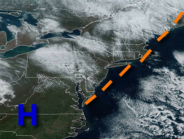
High pressure will pass over the region today on through tomorrow with clear skies to scattered cloud cover. Winds will veer from the northwest at 10 to 20 mph through this afternoon to the southeast at 5 to 15 mph by tomorrow afternoon. Temperatures will rise into the lower to mid-50s for highs this afternoon. Temperatures tomorrow will range from the lower to mid-30s over the interior and upper 30s to lower 40s along the
coast for lows and mid-50s to lower 60s on Long Island and lower to mid-60s elsewhere for highs.
An area of low pressure will produce periods of rain, heavy at times, and embedded thunderstorms on Monday. The thunderstorms will be capable of intense downpours, frequent lightning, and wind gusts over 40 mph. Winds will be from the south at 15 to 30 mph with gusts over 40 mph at times. Temperatures on Monday will range from the lower to mid-50s for lows and lower to mid-60s on Long Island and mid-60s to lower 70s elsewhere for
highs.
A series of cold fronts will pass through the region on Tuesday and Wednesday with scattered clouds and isolated to widely scattered showers. Temperatures on Tuesday will range from the lower to mid-40s over the interior and mid to upper 40s along the coast for lows and mid-50s to lower 60s for highs. Temperatures on Wednesday will range from the mid-30s to lower 40s for lows and lower to mid-40s for highs.
High pressure will produce scattered cloud cover on Thursday and Friday. Temperatures on Thursday will range from the upper 20s to lower 30s for lows and mid-40s to lower 50s for highs. Temperatures on Friday will range from the mid-20s to lower 30s for lows and lower to mid-50s for highs.