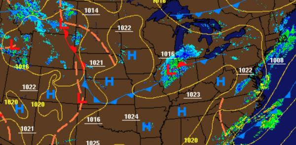
A few troughs and cold fronts will support a few pesky showers throughout the week. A more organized area of low pressure will bring rain and mountain snow to higher elevations this weekend.
A few pesky cold fronts will pass through the region today on through Friday with scattered to broken clouds and isolated showers. Winds will range be from the west at 5 to 15 mph with gusts up to 25 mph at times. Temperatures today will rise into the upper 40s to mid-50s for highs this afternoon. Temperatures tomorrow will range from the lower to mid-30s over the interior and upper 30s to lower 40s along the coast for lows and mid-40s
to lower 50s for highs. Temperatures on Friday will range from the mid-20s to lower 30s for lows and upper 40s to mid-50s for highs.
An area of low pressure will move through the region Friday night on through Saturday afternoon with periods of rain. Snow, sleet, and rain are expected for elevations above 1,000 feet for the Poconos and Catskills with some minor snow accumulation possible in the morning hours. Temperatures on Saturday will range from the lower to mid-30s over the interior, upper 30s to mid-40s in the New York City metro, and upper 40s to lower 50s in the
Philadelphia metro for lows and lower to mid-40s over the interior and upper 40s to mid-50s along the coast for highs.
A series of weak troughs will follow on Sunday on through Tuesday with scattered clouds and isolated showers. Temperatures on Sunday will range from the upper 20s to lower 30s for lows and mid to upper 50s for highs. Temperatures on Monday will range from the upper 30s to mid-40s for lows and lower to mid-60s for highs. Temperatures on Tuesday will range from the upper 30s to mid-40s for lows and upper 50s to mid-60s for
highs.