Excellent weather conditions are in place today, but pesky cold fronts will produce isolated showers through the rest of the week. A rainstorm a threat by the weekend.
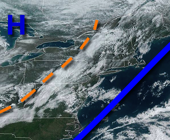
High pressure will produce clear skies to scattered cloud cover through this evening. Winds will be from the west-northwest at 5 to 15 mph. Temperatures will rise into the lower to mid-50s for highs.
A series of weak troughs and cold fronts will move through the region tomorrow through Thursday. Winds will be from the west at 10 to 20 mph. Temperatures tomorrow will range from the lower to mid-30s over the interior and mid to upper 30s along the coast for lows and mid to upper 40s over the interior and lower to mid-50s along the coast for highs. Temperatures on Thursday will range from the lower to mid-30s for lows and mid to upper
40s over the interior and lower to mid-50s along the coast for highs.
A series of weak troughs will move through the region on Friday and Saturday with scattered clouds and isolated showers. Temperatures on Friday will range from the upper 20s to mid-30s for lows and mid to upper 40s over the interior and lower to mid-50s along the coast for highs. Temperatures on Saturday will range from the upper 20s to lower 30s over the interior and mid to upper 30s along the coast for lows and lower to mid-50s for
highs.
An area of low pressure will produce periods of rain on Sunday. Temperatures on Sunday will range from the lower to mid-30s for lows and lower to mid-50s for highs.
High pressure will build into the region on Monday with clear skies to scattered cloud cover. Temperatures on Monday will range from the upper 30s to lower 40s for lows and lower to mid-50s for highs.