An area of low pressure will pass through the region tonight through tomorrow with periods of rain along the coast and in urban areas. A mix of snow, sleet, and rain can be expected for higher elevations in the Poconos, Catskills, Hudson River Valley, and northern Connecticut through tomorrow morning before changing over to rain. Skies will clear towards tomorrow evening. Winds will veer from the southwest to northwest at 5 to 15
mph. Temperatures tomorrow will range from the lower to mid-30s over the interior, upper 30s to mid-40s in the New York City metro, and mid to upper 40s in the Philadelphia metro for lows and mid to upper 40s over the interior and upper 40s to lower 50s along the coast for highs.
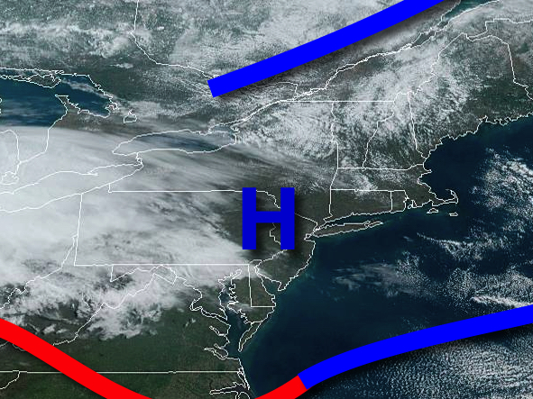
High pressure will be in control on Sunday with clear skies to scattered cloud cover. Winds will be from the southwest at 5 to 15 mph. Temperatures on Sunday will range from the upper 20s to mid-30s for lows and mid-50s to lower 60s for highs.
An area of low pressure will pass through the region on Monday with showers in the morning followed by clearing skies in the afternoon. Temperatures on Monday will range from the upper 30s to lower 40s for lows and mid to upper 40s for highs.
High pressure will produce clear skies to scattered cloud cover on Tuesday and Wednesday. Temperatures on Tuesday will range from the lower to mid-30s for lows and lower to mid-50s over the interior and upper 50s to mid-60s along the coast for highs. Temperatures on Wednesday will range from the upper 20s to mid-30s for lows and upper 40s to mid-50s for highs.
An area of low pressure will produce isolated to widely scattered showers on Thursday. Temperatures on Thursday will range from the lower to mid-30s over the interior and upper 30s to mid-40s along the coast for lows and upper 50s to mid-60s for highs.