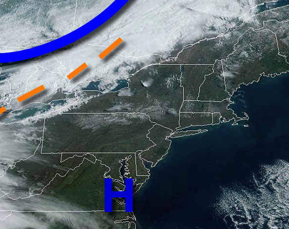
High pressure will provide tranquil weather conditions today, but the threat for showers returns for the upcoming week.
High pressure will pass through the region today with clear skies to scattered cloud cover. Winds will be from the southwest at 5 to 15 mph. Temperatures will rise into the upper 50s to lower 60s for highs.
A cold front will follow tomorrow with scattered cloud cover and isolated showers by tomorrow afternoon. Winds will veer to the north at 5 to 10 mph. Temperatures will range from the upper 30s to lower 40s over the interior and lower to mid-40s along the coast for lows and lower to mid-50s for highs.
Another cold front will follow on Tuesday with scattered to broken cloud cover and isolated to widely scattered showers. Winds will veer from the southwest to northwest at 10 to 20 mph. Temperatures will range from the mid-30s to lower 40s for lows and mid to upper 50s over the interior and upper 50s to mid-60s along the coast for highs.
High pressure will produce scattered clouds on Wednesday. Temperatures will range from the upper 20s to mid-30s for lows and upper 40s to mid-50s for highs.
An area of low pressure will approach the region on Thursday with increasing clouds and showers towards the evening. Temperatures will range from the lower to mid-30s over the interior and upper 30s to mid-40s along the coast for lows and mid to upper 50s for highs.
Periods of showers are expected on Friday as the low-pressure system passes through the region. Temperatures will range from the upper 30s to lower 40s over the interior and mid to upper 40s along the coast for lows and lower to mid-40s over the interior and upper 40s to mid-50s along the coast for highs.
Showers will linger on Saturday as a series of weak troughs exit the region. Skies will clear in the afternoon. Temperatures will range from the upper 30s to lower 40s for lows and upper 50s to lower 60s for highs.