More showers and drizzle can be expected today and more rain is on the way, however, drier weather is possible by the weekend!
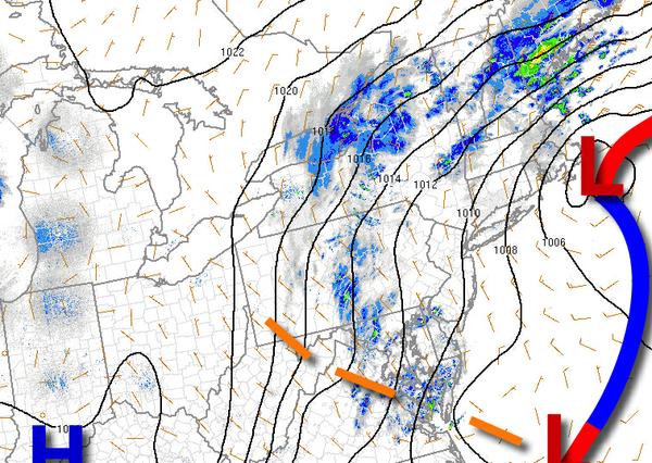
An area of low pressure will depart today with low clouds, drizzle, and isolated showers. Winds will back to the northwest at 10 to 20 mph. Temperatures will rise into the mid-40s to lower 50s for highs today.
High pressure will build into the region tonight through tomorrow with clear skies to scattered cloud cover. Winds will be from the northwest at 5 to 15 mph. Temperatures tomorrow will range from the lower to mid-30s over the interior and mid to upper 30s along the coast for lows and upper 50s to mid-60s for highs.
High pressure will exit with increasing clouds through the day with overcast skies by the afternoon. Winds will veer to the east at 10 to 20 mph. Temperatures will range from the upper 30s to mid-40s for lows and mid-50s to lower 60s for highs.
A cold front will move through the region on Thursday with showers developing in the afternoon. Showers and thunderstorms are expected in the evening through early Friday morning. Temperatures will range from the lower to mid-40s over the interior and upper 40s to mid-50s along the coast for lows and mid to upper 50s over the interior, upper 50s to mid-60s in the New York City metro, and lower to mid-60s in the Philadelphia metro for
highs.
Skies will clear on Friday with a few lingering showers possible, especially in the morning hours. Temperatures will range from the lower to mid-50s for lows and mid to upper 60s for highs.
High pressure will produce clear skies to scattered cloud cover on Saturday and Sunday. Temperatures on Saturday will range from the upper 40s to mid-50s for lows and mid-60s to lower 70s for highs. Temperatures on Sunday will range from the lower to mid-40s over the interior and mid to upper 40s along the coast for lows and mid to upper 60s on Long Island and lower to mid-70s elsewhere for highs.