Showers will continue to linger through tomorrow morning but improving conditions are expected by tomorrow afternoon. An active and cool weather pattern continues through next week.
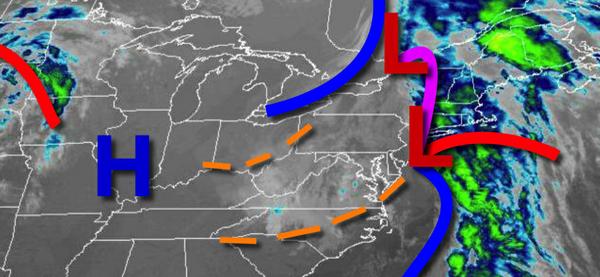
An area of low pressure will continue to produce broken clouds and scattered showers through this evening. A few showers will be capable of heavy downpours at times. Winds will be from the northwest at 5 to 15 mph. Temperatures will rise into the lower to mid-60s over the interior and mid-60s to lower 70s elsewhere for highs.
High pressure will produce clear skies to scattered cloud cover through tomorrow. A few isolated showers will be possible early in the morning. Winds will be from the northwest at 10 to 20 mph. Temperatures will range from the mid-40s to lower 50s for lows and mid-60s to lower 70s for highs.
An area of low pressure will approach on Sunday with increasing clouds and isolated showers towards the afternoon and evening. Winds will be from the west at 5 to 15 mph. Temperatures will range from the upper 40s to mid-50s for lows and upper 60s to mid-70s for highs.
Another area of low pressure will move through the region on Monday with scattered showers. Showers will be capable of heavy downpours. Temperatures will range from the lower to mid-40s over the interior and upper 40s to mid-50s along the coast for lows and mid to upper 60s over the interior, mid-60s to lower 70s in the New York City metro, and upper 60s to mid-70s in the Philadelphia metro for highs.
A series of weak cold fronts and troughs will pass through the region on Tuesday through Thursday with scattered to broken cloud cover and isolated showers. Temperatures on Tuesday will range from the upper 30s to mid-40s for lows and mid-50s to lower 60s for highs. Temperatures on Wednesday will range from the upper 30s to mid-40s for lows and mid-50s to lower 60s for highs. Temperatures on Thursday will range from the upper 30s to
mid-40s for lows and mid-50s to lower 60s for highs.