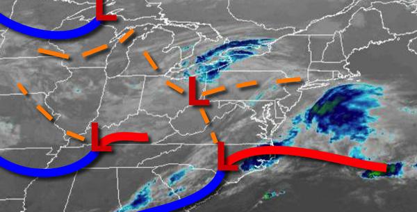
A series of low-pressure systems will keep the threat for showers through the end of the week. Very chilly weather conditions follow for the weekend.
An area of low pressure will pass through the region today overcast skies and scattered showers. Winds will be from the northeast at 5 to 15 mph. Temperatures will rise into the lower to mid-50s for highs today.
Another cold front will follow tomorrow with scattered to broken cloud cover and isolated showers. Winds will be from the west at 5 to 15 mph. Temperatures will range from the mid-30s to lower 40s for lows and upper 50s to mid-60s for highs.
Another area of low pressure will move through the region on Friday with periods of showers throughout the region. Some snow will mix in with the rainfall in the evening over the Poconos and Catskills. No significant snowfall is expected at this time, but 1" to 3" are possible on cold surfaces for elevations above 1,000 feet. Winds will back from the southwest to the northeast at 5 to 10 mph. Temperatures will range from
the mid-30s to lower 40s over the interior and mid to upper 40s along the coast for lows and lower to mid-50s over the interior and upper 50s to mid-60s along the coast.
High pressure will build into the region on Saturday as an area of low pressure departs and intensifies over the Canadian Maritimes with scattered cloud cover and a few flurries possible over the higher elevations. Windy conditions can be expected. Temperatures will range from the upper 20s to mid-30s for lows and lower to mid-40s over the interior and upper 40s to lower 50s along the coast for highs.
High pressure will exit on Sunday with scattered cloud cover expected. Temperatures will range from the upper 20s to lower 30s over the interior and mid to upper 30s along the coast for lows and upper 40s to mid-50s over the interior and mid to upper 50s along the coast for highs.
An area of low pressure will follow on Monday with isolated to widely scattered showers. Temperatures on Monday will range from the upper 30s to lower 40s over the interior and mid to upper 40s along the coast for lows and mid-50s to lower 60s for highs.
High pressure will produce clear skies to scattered cloud cover on Tuesday. Temperatures will range from the lower to mid-30s over the interior and upper 30s to lower 40s along the coast for lows and lower to mid-50s over the interior and upper 50s to lower 60s along the coast for highs.