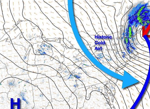
After historically cold weather conditions this morning with record-breaking low temperatures, chilly conditions will linger through the weekend. Warmer weather is on the way though!
As the area of low-pressure exits and high pressure builds in, scattered clouds to clear skies can be expected. A few snow flurries will be a threat to northeast Pennsylvania, Hudson River Valley, and northwestern Connecticut will be possible. Winds will be from the northwest at 10 to 20 mph with gusts over 30 mph. Temperatures will rise into the lower to mid-40s over the interior and mid to upper 40s along the coast for
highs.
High pressure will pass over the region tomorrow with clear skies to scattered clouds. Winds will be from the west at 10 to 20 mph. Temperatures will range from the lower to mid-30s over the interior and mid to upper 30s along the coast for lows and mid-50s to lower 60s for highs.
An area of low pressure will pass through the region on Monday with isolated to widely scattered showers. Winds will be from the southwest at 5 to 15 mph. Temperatures will range from the upper 30s to lower 40s over the interior and mid to upper 40s along the coast for lows and upper 50s to mid-60s for highs.
High pressure will produce clear skies to scattered cloud cover on Tuesday and Wednesday. Temperatures on Tuesday will range from the mid-30s to lower 40s for lows and upper 40s to lower 50s over the interior and mid to upper 50s along the coast for highs. Temperatures on Wednesday will range from the lower to mid-30s over the interior and mid to upper 30s along the coast for lows and mid-50s to lower 60s for highs.
A cold front will approach and stall over the region on Thursday and Friday with increasing clouds and scattered showers. Temperatures on Thursday will range from the lower to mid-30s over the interior and upper 30s to lower 40s along the coast for lows and lower to mid-50s over the interior, upper 50s to mid-60s in the New York City metro, and mid-60s to lower 70s in the Philadelphia metro for highs. Temperatures on Friday will range from the
lower to mid-50s over the interior and mid-50s to lower 60s along the coast for lows and upper 60s to mid-70s on Long Island and mid-70s to lower 80s for highs.