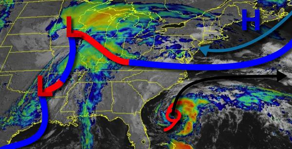
The potential for a very wet week has given way to a cool yet cloudy period of weather with a threat for an isolated shower or two. Based on new observations and data, the region will be between high pressure to the north and a stationary front to the south, keeping a persistent easterly in place throughout the week.
Scattered to broken cloud cover and an isolated shower can be expected today on through tomorrow. Winds will veer from the east to southeast at 5 to 15 mph. Temperatures will rise into the lower to mid-60s for highs today. Temperatures tomorrow will range from the upper 40s to mid-50s for lows and lower to mid-60s for highs.
Scattered to broken cloud cover and isolated showers will be a threat on Tuesday. Winds will be from the east at 10 to 20 mph. Temperatures on Tuesday will range from the upper 40s to lower 50s for lows and upper 50s to mid-60s for highs.
Scattered to broken clouds and isolated showers will be a threat for Wednesday and Thursday along with a persistent easterly wind. Temperatures on Wednesday will range from the upper 30s to lower 40s over the interior and mid to upper 40s along the coast for lows and upper 50s to lower 60s for highs. Temperatures on Thursday will range from the mid to upper 30s over the interior and lower to mid-40s along the coast for lows and upper 50s to
lower 60s on Long Island and the immediate coast and lower to mid-60s elsewhere for highs.
An area of low pressure will produce widespread showers, heavy at times, on Friday afternoon on through Saturday. Temperatures on Friday will range from the mid to upper 40s for lows and mid-60s to lower 70s for highs. Temperatures on Saturday will range from the mid-50s to lower 60s for lows and upper 60s to mid-70s for highs.