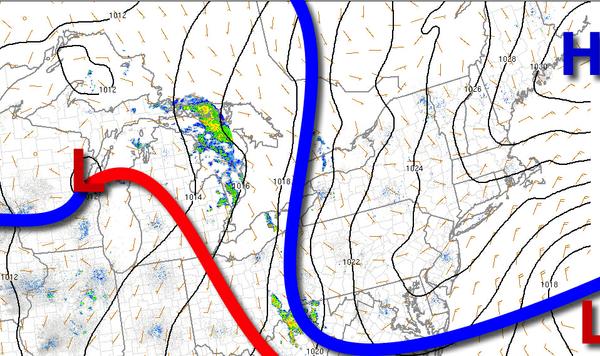
High pressure from the northwestern Atlantic Ocean will provide dry yet cloudy conditions through the rest of the Memorial Day Weekend. A gradual warm-up is expected through the rest of next week.
High pressure will be in control through tomorrow with scattered to broken cloud cover. Winds will be from the east at 5 to 15 mph. Temperatures today will rise into the lower to mid-60s along the coast and mid to upper 60s over the interior this afternoon. Temperatures tomorrow will range from the lower to mid-50s for lows and mid-60s to lower 70s for highs.
High pressure over the Atlantic Ocean will drop south with scattered to broken cloud cover and isolated showers possible on Tuesday. Winds will be light and variable. Temperatures on Tuesday will range from the mid-50s for lows and upper 60s to lower 70s along the coast and mid to upper 70s elsewhere for highs.
Scattered to broken cloud cover is expected Wednesday and Thursday with an isolated shower at times. Temperatures on Wednesday will range from the mid to upper 50s for lows and lower to mid-70s for highs. Temperatures on Thursday will range from the upper 50s to lower 60s for lows and upper 60s to lower 70s along the immediate coast and Long Island and lower to mid-70s elsewhere for highs.
A strong cold front will produce periods of showers and thunderstorms on Friday. The rain will be heavy at times and strong to severe thunderstorms are a threat. Temperatures on Friday will range from the lower to mid-60s for lows and upper 60s to lower 70s along the coast and mid to upper 70s elsewhere for highs.
High pressure will build into the region on Saturday with clear skies to scattered cloud cover. Temperatures on Saturday will range from the lower to mid-50s over the interior and upper 50s to mid-60s along the coast for lows and lower to mid-70s over the interior and mid to upper 70s along the coast for highs.