Waves of rainfall today will produce the threat of urban flooding and a dreary day overall.
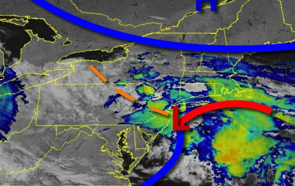
As an area of low pressure organized off the New Jersey coast, periods of rain can be expected today. The rain will be heavy at times. Winds will be from the northeast at 5 to 15 mph. Temperatures will rise into the mid-60s to lower 70s for highs.
As the area of low-pressure exits tonight, a few lingering showers can be expected in the evening followed by clearing skies. Winds will be from the northeast at 5 to 15 mph. Temperatures by tomorrow morning will fall into the mid-40s to lower 50s for lows.
High pressure will build into the region from the Gulf of Maine tomorrow on through Memorial Day Monday with scattered to broken cloud cover expected. Winds will be from the east at 5 to 15 mph. Temperatures tomorrow will rise into the mid-60s to lower 70s for highs. Temperatures on Monday will range from the upper 40s to lower 50s for lows and mid-60s to lower 70s for highs.
High pressure off the coast and a cold front stalled to the west will support onshore winds on Tuesday through Thursday with scattered to broken cloud cover and isolated showers. Temperatures through the period will range from the mid-50s to lower 60s for lows and upper 60s to lower 70s along the coast and mid to upper 70s elsewhere for highs.
A cold front will produce periods of showers and thunderstorms on Friday. Temperatures on Friday will range from the lower to mid-60s for lows and upper 60s to lower 70s along the coast and mid to upper 70s elsewhere for highs.