As a cold front clears the coast, tranquil conditions return in time for the weekend. After a cool weekend, warm and humid conditions return next week.
High pressure will build into the region today with clearing skies through this afternoon. Winds will be from the west at 5 to 15 mph. Temperatures will rise into the lower to mid-70s over the interior and mid-70s to lower 80s along the coast.
High pressure will be in control tonight on through Monday with clear skies to scattered cloud cover. Winds will be from the northwest at 5 to 15 mph. Temperatures tomorrow will range from the mid-40s to lower 50s over the interior and mid to upper 50s along the coast for lows and upper 50s to lower 60s over the interior and mid-60s to lower 70s along the coast for highs. Temperatures on Monday will range from the upper 30s to lower 40s
over the interior and mid to upper 40s along the coast for lows and lower to mid-60s for highs.
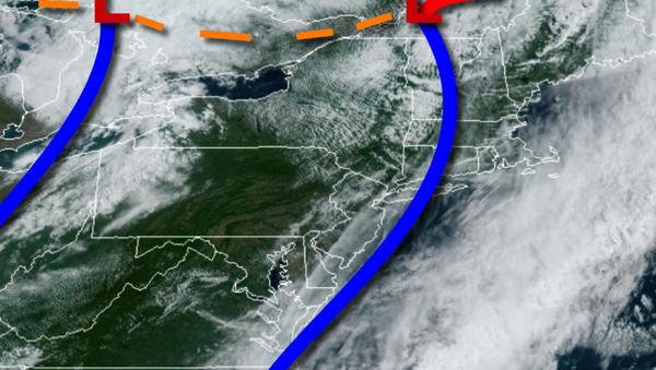
A warm front will approach on Tuesday with increasing clouds and isolated showers by evening. A cold front will follow on Wednesday with additional scattered showers and thunderstorms. Temperatures on Tuesday will range from the upper 40s to lower 50s for lows and mid-60s to lower 70s for highs. Temperatures on Wednesday will range from the mid-50s to lower 60s for lows and mid 70's over the interior, mid 70's to lower 80s in the New
York City metro, and mid to upper 80s in the Philadelphia metro for highs.
High pressure will be in control on Thursday and Friday with clear skies to scattered cloud cover. Temperatures on Thursday will range from the mid to upper 50s over the interior and lower to mid-60s along the coast for lows and lower to mid-70s over the interior, mid-70s to lower 80s in the New York City metro, and lower to mid-80s in the Philadelphia metro for highs. Temperatures on Friday will range from the lower to mid-50s over the
interior and upper 50s to lower 60s along the coast for lows and mid to upper 70s for highs.