A pesky shower is a threat this afternoon, otherwise tranquil and cool weather conditions are expected today. A surge of hot and humid air is expected by Wednesday along with showers and thunderstorms.
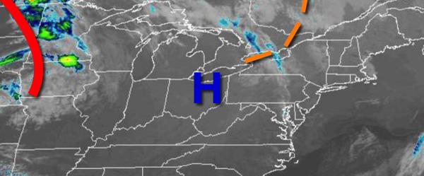
A weak trough will move through the region today with scattered clouds and isolated showers. Winds will be from the northwest at 5 to 15 mph. Temperatures will rise into the upper 60s to lower 70s for highs today.
A warm front will approach the region tomorrow with increasing clouds and isolated showers. Winds will back to the southwest at 5 to 15 mph. Temperatures tomorrow will range from the upper 40s to lower 50s for lows and upper 60s to lower 70s for highs.
The warm front will move through the region tomorrow evening through Wednesday morning with scattered showers, low clouds, and fog. Winds will be from the southwest at 5 to 15 mph. Temperatures will fall into the upper 50s to mid-60s for lows on Wednesday morning.
A cold front will follow on Wednesday afternoon and evening with showers and strong to severe thunderstorms. The thunderstorms will be capable of heavy downpours, frequent lightning, hail, and wind gusts over 40 mph. Winds will veer to the west at 5 to 15 mph. Temperatures will rise into the mid-70s to lower 80s on Long Island and mid-80s to lower 90s for the rest of the region.
Weak high pressure will produce scattered to broken cloud cover on Thursday. Temperatures will range from the upper 50s to lower 60s for lows and mid-70s to lower 80s for highs.
A series of weak low-pressure systems will produce scattered showers and thunderstorms on Friday and Saturday. Temperatures on Friday will range from the lower to mid-60s for lows and upper 70s to lower 80s for highs. Temperatures on Saturday will range from the mid to upper 60s for lows and upper 70s to mid-80s for highs.
High pressure will build into the region on Sunday with scattered clouds and a few isolated showers in the morning hours. Temperatures on Sunday will range from the upper 40s to lower 50s over the interior and mid to upper 50s along the coast for lows and upper 60s to mid-70s for highs.
For details on your specific location, please visit the Seven Day Forecast!