Tranquil conditions are expected today, but the threat of showers and thunderstorms return for next week.
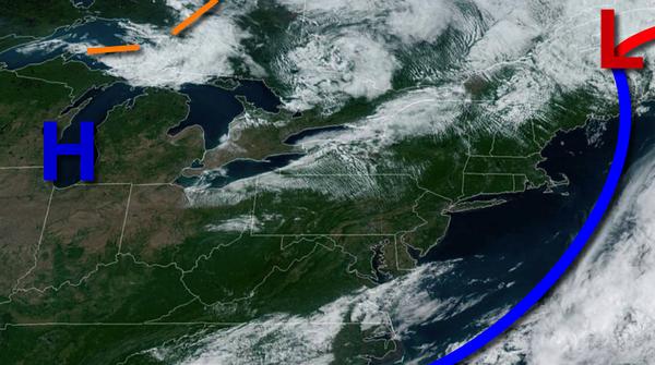
High pressure will be in control today with clear skies to a few clouds. Winds will be from the northwest at 5 to 15 mph. Temperatures will rise into the upper 60s to lower 70s for highs this afternoon.
A weak trough of low-pressure will pass through the region tomorrow with scattered clouds and a few isolated showers. Winds will be from the northwest at 5 to 15 mph. Temperatures tomorrow will range from the mid to upper 40s for lows and mid-60s to lower 70s for highs.
A warm front will follow on Tuesday with scattered clouds and isolated showers. Winds will back to the southwest at 5 to 15 mph. Temperatures on Tuesday will range from the mid-40s to lower 50s for lows and upper 60s to mid-70s for highs.
A cold front will move through the region on Wednesday with areas of fog and isolated showers in the morning followed by showers and thunderstorms in the afternoon and evening. The thunderstorms will be capable of heavy downpours, hail, frequent lightning, and wind gusts over 40 mph. Temperatures on Wednesday will range from the lower to mid-60s for lows and upper 70s to lower 80s on the coast and mid to upper 80s elsewhere for
highs.
High pressure will be in control on Thursday with scattered cloud cover. Temperatures on Thursday will range from the upper 50s to lower 60s for lows and mid-70s to lower 80s for highs.
An area of low pressure will produce scattered clouds and isolated showers on Friday. Temperatures will range from the upper 50s to mid-60s for lows and mid-70s to lower 80s for highs.
A cold front will follow on Saturday with showers and thunderstorms. Temperatures will range from the upper 60s to lower 70s for lows and mid-70s to lower 80s on the coast and lower to mid-80s elsewhere for highs.
Please visit the Seven Day Forecast for specific details for your location.