Perfect weather conditions are expected for most of the week, but the threat for rainfall returns by Wednesday night.
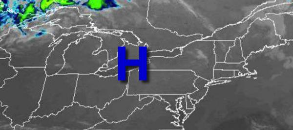
High pressure will be in control today with clear skies to scattered cloud cover. Winds will be from the northwest at 5 to 10 mph. Temperatures will rise into the mid to upper 70s for highs today.
High pressure will pass over the region tonight through tomorrow with clear skies to scattered cloud cover. Winds will back from the northwest to southwest at 5 to 15 mph. Temperatures tomorrow will range from the upper 40s to mid-50s for lows and upper 70s to lower 80s on Long Island and mid to upper 80s elsewhere for highs.
High pressure will remain off the coast on Wednesday with scattered cloud cover expected. Winds will be from the south at 5 to 15 mph. Temperatures on Wednesday will range from the upper 50s to lower to mid-70s on Long Island, upper 70s to mid-80s along the rest of the coast, and mid-80s to lower 90s elsewhere for highs.
A warm front will move through on Wednesday night with isolated showers. A cold front will follow on Thursday with periods of showers and thunderstorms. The thunderstorms will be capable of heavy downpours, lightning, and wind gusts over 40 mph. Temperatures on Thursday will range from the mid-60s to lower 70s for lows and mid-70s to lower 80s for highs.
The cold front will stall off the coast with waves of low-pressure passing by produce scattered to broken clouds and isolated showers Friday on through Sunday. Temperatures on Friday will range from the mid-50s to lower 60s for lows and upper 70s to mid-80s for highs. Temperatures on Saturday will range from the mid-50s to lower 60s for lows and lower to mid-70s for highs. Temperatures on Sunday will range from the lower to mid-50s for
lows and mid-60s to lower 70s for highs.
For details on your location, please visit the Local Seven Day Forecast!