Hot and humid conditions will return to many locations this afternoon, however, a southerly wind off the Atlantic will spare some locations like Long Island and southern Connecticut. Showers and thunderstorms return tomorrow with a strong cold front.
High pressure will exit today with increasing cloud cover and rising humidity. Winds will be from the south at 5 to 15 mph. Temperatures will rise into the mid-70s to lower 80s along the immediate coast and mid-80s to lower 90s elsewhere for highs.
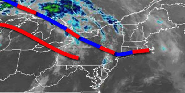
A warm front will move through the region tonight on through tomorrow morning with increasing clouds and isolated showers. Winds will be from the south at 5 to 15 mph. Temperatures will fall into the upper 60s to mid-70s for lows.
A strong cold front will follow with waves of showers and thunderstorms. The thunderstorms will be capable of intense downpours, frequent lightning, hail, and wind gusts over 40 mph. Winds will veer to the west at 5 to 15 mph. Temperatures will rise into the mid-70s to lower 80s for highs.
The cold front will stall off the coast tomorrow night on through Friday with scattered to broken cloud cover and a few isolated showers. Winds will be from the northwest at 5 to 10 mph. Temperatures on Friday will range from the mid-50s to lower 60s for lows and upper 70s to mid-80s for highs.
High pressure over the Canadian Maritimes and a stationary front with waves of low pressure off the coast will combine to produce an onshore wind throughout the region on Saturday on through Tuesday. Scattered to broken cloud cover along with isolated to scattered showers can be expected through the period. Temperatures on Saturday will range from the mid-50s to lower 60s for lows and mid-70s to lower 80s for highs. Temperatures on
Sunday through Tuesday will range from the mid-50s to lower 60s for lows and mid-60s to lower 70s for highs.
For details on your location please visit the Local Seven Day Forecast!