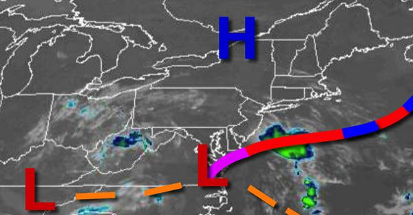
After a few days of excellent weather conditions, areas of fog, low clouds, and showers will return to the region and linger through the weekend.
Areas of fog and low clouds this morning will give way to broken to overcast cloud cover and isolated to widely scattered showers. The showers will be capable of brief heavy downpours. Winds will be from the east at 5 to 15 mph. Temperatures will rise into the lower to mid-70s for highs.
The area of low pressure will linger over the region tonight on through Saturday with scattered to broken cloud cover and scattered showers and thunderstorms. Locally dense fog will be a threat in the morning hours. The thunderstorms will be capable of intense downpours, occasional vivid lightning, and wind gusts over 40 mph. Winds will veer from the east to the south at 5 to 15 mph. Temperatures tomorrow will range from the lower
to mid-60s for lows and mid-70s to lower 80s for highs. Temperatures on Saturday will range from the upper 50s to lower 60s for lows and mid-70s to lower 80s for highs.
The low-pressure system will weaken into a trough that will linger over the region Sunday on through Wednesday with scattered to broken cloud cover and isolated to widely scattered showers and thunderstorms. Temperatures on Sunday will range from the lower to mid-60s for lows and mid-70s to lower 80s for highs. Temperatures on Monday will range from the lower to mid-60s for lows and upper 70s to mid-80s for highs. Temperatures on Tuesday
will range from the mid to upper 60s for lows and mid-70 to lower 80s on Long Island and mid-80s to lower 90s elsewhere for highs. Temperatures on Wednesday will range from the mid-60s to lower 70s for lows and mid-70s to lower 80s on Long Island and mid-80s to lower 90s elsewhere for highs.
For details on your location, please visit the Local Seven Day Forecast!