For most locations, this Father's Day will feature scattered clouds with a touch of humidity, but a few isolated thunderstorms remain a threat.
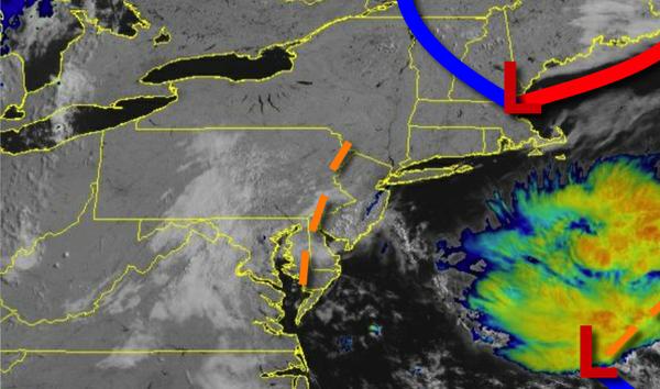
A weak trough will linger over the region today with scattered cloud cover for much of the region. An isolated thunderstorm will be a threat, especially in the Delaware River Valley, with thunderstorms capable of intense downpours, frequent lightning, and wind gusts over 40 mph. Flash flooding is possible. Winds will be from the southeast at 5 to 15 mph. Temperatures will rise into the upper 70s to mid-80s for
highs.
A weak trough will continue to linger over the region tonight on through Tuesday with locally dense fog in the morning and scattered clouds in the afternoon. An isolated thunderstorm will be a threat each afternoon, especially in the Delaware River Valley. These thunderstorms will be capable of intense downpours, frequent lightning, and wind gusts over 40 mph. Winds will veer to the southwest at 5 to 10 mph. Temperatures tomorrow
will range from the mid to upper 60s for lows and upper 70s to mid-80s along the coast and mid-80s to lower 90s elsewhere for highs. Temperatures on Tuesday will range from the mid-60s to lower 70s for lows and upper 70s to mid-80s on the coast and mid-80s to lower 90s elsewhere for highs.
A cold front will move through the region on Wednesday with widely scattered showers and thunderstorms throughout the region, especially in the afternoon. Temperatures on Wednesday will range from the mid-60s to lower 70s for lows and upper 70s to lower 80s along the coast and mid-80s to lower 90s elsewhere for highs.
The cold front will exit on Thursday in the morning with a few lingering showers over the Philadelphia metro and southern New Jersey. Otherwise, scattered cloud cover is expected. Temperatures on Thursday will range from the mid to upper 60s for lows and upper 70s to mid-80s for highs.
High pressure will be in control on Friday and Saturday with clear skies to scattered cloud cover. Fog will be a threat in the morning hours. Temperatures on Friday will range from the upper 50s to mid-60s for lows and upper 70s to lower 80s along the coast and mid to upper 80s elsewhere for highs. Temperatures on Saturday will range from the upper 50s to mid-60s for lows and upper 70s to mid-80s along the coast and mid-80s to lower 90s
elsewhere for highs.
For details on your location, please visit the Local Seven Day Forecast!