If you like muggy, humid conditions, and pop up thunderstorms, you'll enjoy this week.
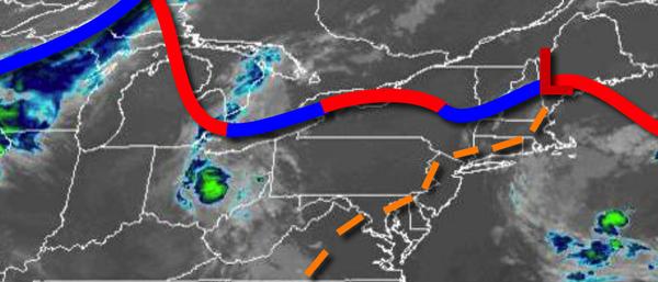
A weak trough will linger over the region today on through tomorrow with scattered to broken cloud cover with an isolated shower or thunderstorm in the afternoon, especially around the Delaware River Valley. The thunderstorms will be capable of brief heavy downpours, frequent lightning, and wind gusts over 40 mph. Locally dense fog will be a threat tonight on through tomorrow morning. Winds will be from the southwest at 5 to 15
mph. Temperatures this afternoon will rise into the upper 70s to mid-80s along the coast and mid-80s to lower 90s elsewhere for highs. Temperatures tomorrow will range from the mid-60s to lower 70s for lows and upper 70s to mid-80s along the coast and mid-80s to lower 90s elsewhere for highs.
A cold front will move through the region on Wednesday with scattered showers and thunderstorms. Winds will veer to the west at 5 to 15 mph. Temperatures on Wednesday will range from the upper 60s to mid-70s for lows and mid-70s to lower 80s on Long Island and mid-80s to lower 90s elsewhere for highs.
Another cold front will move through on Thursday with widely scattered showers. Temperatures on Thursday will range from the lower to mid-60s for lows and mid-70s to lower 80s for highs.
High pressure will be in complete control on Friday and Saturday with clear skies to scattered cloud cover. Temperatures on Friday will range from the upper 50s to mid-60s for lows and upper 70s to mid-80s for highs. Temperatures on Saturday will range from the upper 50s to mid-60s for lows and mid-80s to lower 90s for highs.
A cold front will approach on Sunday with isolated to widely scattered showers and thunderstorms. Temperatures on Sunday will range from the upper 60s to mid-70s for lows and mid-80s to lower 90s for highs.
For details on your location, please visit the Local Seven Day Forecast!