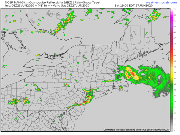
Strong to severe thunderstorms are a threat for tomorrow afternoon and evening with heavy downpours, frequent lightning, hail, wind gusts over 60 mph, and even an isolated tornado.
A weak trough will pass through the region today with scattered clouds and an isolated shower. Most locations will be dry and pleasant today. Winds will be from the west at 5 to 10 mph. Temperatures will rise into the upper 70s to lower 80s on the coast and mid to upper 80s elsewhere for highs.
Scattered clouds can be expected tonight on through tomorrow morning with some locally dense fog forming by tomorrow morning. Winds will be from the west at 5 to 10 mph. Temperatures tomorrow will fall into the lower to mid-60s for lows.
A cold front will approach tomorrow with scattered cloud cover through much of the day followed by showers and strong to severe thunderstorms. Winds will be from the southwest at 10 to 20 mph. Temperatures will rise into the lower to mid-80s on the coast and upper 80s to lower 90s elsewhere for highs.
The cold front will slowly sink south through the region on Sunday with scattered to broken clouds and scattered showers. Winds will veer from the west to northwest at 5 to 15 mph. Temperatures on Sunday will range from the upper 60s to lower 70s for lows and upper 70s to mid-80s over the interior and New York City metro and mid-80s to lower 90s in the Philadelphia metro and southern New Jersey.
A weak trough will linger over the region on Monday and Tuesday with isolated to widely scattered showers. Temperatures on Monday will range from the mid to upper 60s for lows and mid to upper 80s for highs. Temperatures on Tuesday will range from the mid to upper 60s for lows and mid to upper 80s for highs.
A cold front will drop from the north through the region on Wednesday and Thursday with scattered showers a threat. Temperatures on Wednesday will range from the mid to upper 60s for lows and mid-70s to lower 80s for highs. Temperatures on Thursday will range from the mid to upper 60s for lows and upper 70s to mid-80s for highs.
For details on your location, please visit the Local Seven Day Forecast!