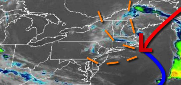
A pesky upper-level low-pressure system will produce showers and thunderstorms today and tomorrow in the afternoon with some locations with tropical downpours, powerful wind gusts, and even some small hail.
A trough will linger over the region today with scattered to broken cloud cover with scattered showers and thunderstorms from 2 PM to 8 PM throughout the region. These thunderstorms will be capable of intense downpours, frequent lightning, hail, and wind gusts over 40 mph. Winds will be from the northwest at 2 to 5 mph. Temperatures will rise into the mid-70s to lower 80s for highs.
Scattered clouds with some locally dense fog will develop tonight through tomorrow morning. Winds will be from the north at 2 to 5 mph. Temperatures will fall into the upper 50s to mid-60s for lows.
Another round of showers and thunderstorms will develop tomorrow afternoon with the potential for localized flash flooding and wind damage from 2 PM to 8 PM. Winds will be from the southeast at 2 to 5 mph. Temperatures will rise into the upper 70s to mid-80s for highs.
The trough will exit the region on Thursday with scattered clouds and isolated to widely scattered showers and thunderstorms. Winds will back to the west at 2 to 5 mph. Temperatures will range from the upper 50s to mid-60s for lows and upper 70s to mid-80s on the coast and mid-80s to lower 90s elsewhere for highs.
A cold front will approach the region from the north on Friday with increasing clouds and isolated to widely scattered showers and thunderstorms in the evening hours. Temperatures will rise into the mid-80s to lower 90s along the coast and mid-90s elsewhere. A heat index over 100 degrees is a threat.
The cold front will linger over the region for the Fourth of July weekend from Saturday on through Monday with scattered clouds and a few isolated showers a threat. Temperatures on Saturday will range from the mid-60s to lower 70s for lows and mid-70s to lower 80s along the coast and mid-80s to lower 90s elsewhere. Temperatures on Sunday will range from the lower to mid-60s for lows and lower to mid-80s on the coast and mid-80s to lower 90s
elsewhere. Temperatures on Monday will range from the mid-60s to lower 70s for lows and upper 70s to mid-80s on the coast and mid-80s to lower 90s elsewhere for highs.
For details for your location, please visit the Local Seven Day Forecast!