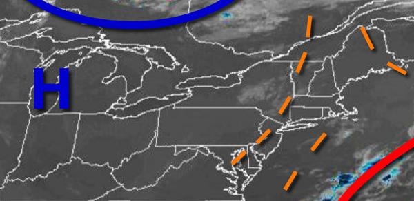
More sunshine and less rainfall expected today as an upper-level low finally exits. Hot and humid conditions return tomorrow, but a back door cold front invades for the Fourth of July.
As the fog burns off this morning, scattered cloud cover can be expected. A weak trough will support the threat for an isolated shower in the afternoon. Winds will be from the north at 2 to 5 mph. Temperatures will rise into the mid-80s to lower 90s for highs.
A cold front will approach from New England tomorrow with increasing clouds throughout the day along with hot and humid conditions. Winds will be from the northwest at 5 to 10 mph. Temperatures will range from the mid-60s to lower 70s for lows and mid-80s to lower 90s along the coast and lower to mid-90s in the Delaware River Valley for highs. A heat index of 95 to 105 will be possible.
The cold front will drop through the region tomorrow night on through Saturday morning with widely scattered showers and thunderstorms. The thunderstorms will be capable of heavy downpours, occasional lightning, and wind gusts over 40 mph. Winds will veer to the north at 2 to 5 mph. Temperatures will fall into the mid-60s to lower 70s for lows.
The cold front will stall over the Delaware River Valley with scattered to broken cloud cover with isolated showers on Saturday, the Fourth of July. Winds will be from the northeast at 5 to 10 mph. Temperatures on Saturday will rise into the mid-70s to lower 80s over the interior and New York City metro and mid to upper 80s in the Philadelphia metro for highs.
The cold front will remain stalled over the region on Sunday with scattered cloud cover. Temperatures on Sunday will range from the lower to mid-60s for lows and upper 70s to mid-80s along the coast and mid-80s to lower 90s elsewhere for highs.
The frontal boundary will linger over the region on Monday through Wednesday with isolated to widely scattered showers and thunderstorms along with hot and humid conditions. Temperatures through the period will range from the mid-60s to lower 70s for lows and lower to mid-80s along the coast and upper 80s to mid-90s elsewhere for highs.
For details on your location, please visit the Local Seven Day Forecast!