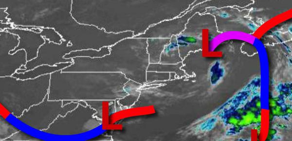
The pesky upper-level low-pressure system will bring another round of showers and thunderstorms today. Hot and humid conditions expected by Friday to start the Fourth of July weekend.
After areas of fog lift this morning, scattered cloud cover can be expected. Scattered showers and thunderstorms will develop later this afternoon from 2 PM to 8 PM with some thunderstorms capable of very heavy downpours, frequent lightning, hail, and wind gusts over 40 mph. Winds will be from the southeast at 2 to 5 mph. Temperatures will rise into the upper 70s to lower 80s for highs today.
The trough of low pressure over the region will exit tonight through tomorrow with scattered cloud cover expected. Isolated showers and thunderstorms will remain a threat tomorrow afternoon. Winds will be from the north at 2 to 5 mph. Temperatures tomorrow will range from the lower to mid-60s for lows and upper 70s to mid-80s along the coast and upper 80s to lower-90s elsewhere for highs.
Hot and humid conditions are expected on Friday with scattered to broken cloud cover. Winds will be from the west-northwest at 2 to 5 mph. Temperatures on Friday will range from the mid-60s to lower 70s for lows and mid-80s to lower 90s along the coast and mid to upper 90s elsewhere. A heat index over 100 degrees is likely, especially in the Delaware River Valley.
A cold front will drop south through the region Friday night into Saturday with isolated to widely scattered showers and thunderstorms. The cold front will linger over the region on Saturday and Sunday with scattered clouds and isolated showers. Temperatures on Saturday will range from the upper 60s to lower 70s for lows and upper 70s to mid-80s along the coast and mid-80s to lower 90s in the Delaware River Valley. Temperatures on Sunday
will range from the upper 50s to mid-60s for lows and upper 70s to mid-80s along the coast and upper 80s to lower 90s elsewhere for highs.
The cold front will rebound as a warm front on Monday with isolated thunderstorms. Temperatures on Monday will range from the upper 60s to lower 70s for lows and mid-80s to lower 90s for highs.
Another cold front will follow on Tuesday with isolated thunderstorms. Temperatures on Tuesday will range from the mid to upper 60s for lows and mid-80s to lower 90s for highs.
For details for your location, please visit the Local Seven Day Forecast!