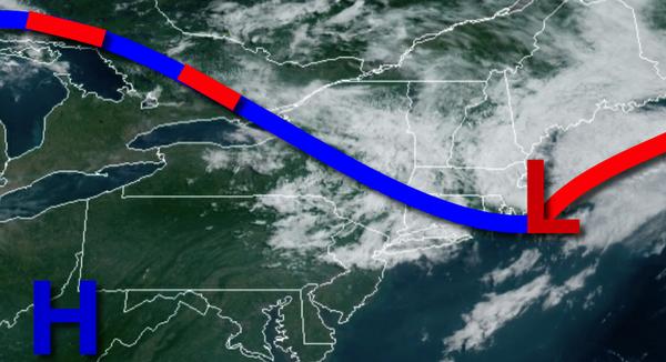
As a hot and humid airmass invades the region today, another airmass from the Canadian Maritimes is driving south for this evening. A clash of air masses will bring an increase in clouds and thunderstorms by this evening.
Increasing clouds can be expected through this afternoon with isolated showers and thunderstorms a threat. Winds will be from the northwest at 2 to 5 mph. Temperatures will rise into the upper 70s to mid-80s along the coast and Connecticut and upper 80s to mid-90s elsewhere for highs. A heat index over 100 degrees will be possible for the Philadelphia metropolitan area.
A cold front will drop south through the region this evening through tomorrow morning with isolated to widely scattered showers and thunderstorms. The thunderstorms will be capable of intense downpours, frequent lightning, hail, and wind gusts over 60 mph. Winds will veer to the northeast at 2 to 5 mph. Temperatures will fall into the mid-60s to lower 70s for lows.
The cold front will continue to press to the southwest through the region tomorrow with scattered to broken cloud cover and isolated showers. Dry weather conditions are expected by the evening hours. Winds will be from the northeast at 4 to 8 mph. Temperatures will rise into the mid-70s to lower 80s along the coast and mid-80s to lower 90s elsewhere for highs.
The cold front will stall to the southwest of the region on Sunday with scattered cloud cover expected. Winds will veer to the southeast at 5 to 10 mph. Temperatures will range from the lower to mid-60s for lows and upper 70s to mid-80s along the coast and upper 80s to mid-90s elsewhere for highs.
A frontal boundary will linger over the region Monday on through Thursday with scattered cloud cover and a threat for an isolated thunderstorm in the afternoon. Fog will be a threat in the morning hours. Temperatures will range from the mid-60s to lower 70s for lows and upper 70s to mid-80s along the coast and upper 80s to mid-90s elsewhere for highs through the period.
For details on your location, please visit the Local Seven Day Forecast!