After blazing heat for much of the region yesterday, cooler and cloudier weather is expected for this Fourth of July. A pesky shower is a threat in the afternoon, but fireworks viewing will be great!
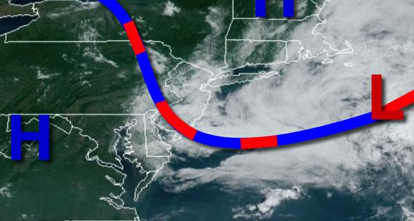
A back door cold front will continue to push west and southwest through the region with scattered to broken cloud cover and an isolated shower possible. Winds will be from the northeast at 2 to 5 mph. Temperatures will rise into the mid-70s to lower 80s along the coast and mid-80s to lower 90s elsewhere for highs.
The back door cold front will stall and linger over the region tonight through tomorrow with areas of fog a threat in the morning hours and scattered to broken cloud cover with isolated showers in the afternoon. Winds will be from the southeast at 2 to 5 mph, but from the west over the Delaware River Valley. Temperatures will range from the mid-60s to lower 70s for lows and upper 70s to mid-80s along the coast and upper 80s to mid-90s
elsewhere for highs.
Another frontal boundary will attempt to drop south through the region on Monday with areas of fog in the morning hours and scattered clouds with isolated thunderstorms in the afternoon. Winds will veer to the southwest at 5 to 10 mph over the Philadelphia metro and from the east at 5 to 10 mph in the New York City metropolitan area. Temperatures will range from the mid-60s to lower 70s for lows and upper 70s to mid-80s in the Hudson River
Valley, Connecticut, and Long Island and upper 80s to mid-90s elsewhere for highs.
A series of frontal boundaries will continue to linger over the region Tuesday on through Friday which will produce a threat for fog each morning, scattered to broken cloud cover with isolated thunderstorms in the afternoon, and a wide range of high temperatures depending on your location. Temperatures will range from the upper 60s to mid-70s for lows and upper 70s to mid-80s along the immediate coast and Long Island and upper 80s to mid-90s
elsewhere for highs.
For details on your location, please visit the Local Seven Day Forecast!