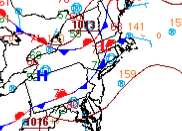
Hot and humid conditions will push the heat index into the mid-90s to lower 100s throughout the region followed by thunderstorms capable of localized flash flooding this afternoon.
Areas of morning low clouds will give way to scattered clouds this afternoon along with humid conditions. Showers and thunderstorms will develop late this afternoon, after 2 PM, and linger through the evening hours with heavy downpours, frequent lightning, hail, and wind gusts over 40 mph. Localized flash flooding is a threat along with wind damage. Winds will be from the southeast at 2 to 5 mph. Temperatures will rise into the
mid-80s to lower 90s along the coast and upper 80s to mid-90s elsewhere for highs. The heat index will rise into the mid-90s to lower 100s due to humid conditions.
The frontal boundary will linger over the region tonight on through Wednesday with areas of fog and low clouds in the morning followed by scattered to broken cloud cover along with widely scattered showers and thunderstorms in the afternoon. Winds will veer from the southeast to south at 4 to 8 mph. Temperatures tomorrow will range from the upper 60s to lower 70s for lows and upper 70s to mid-80s for highs. Temperatures on Wednesday will
range from the upper 60s to lower 70s for lows and upper 70s to mid-80s on the coast and upper 80s to lower 90s elsewhere for highs.
The frontal boundary will slowly dissipate on Thursday with areas of morning fog giving way to scattered clouds in the afternoon. A few isolated thunderstorms are a threat in the afternoon hours. Temperatures on Thursday will range from the upper 60s to lower 70s for lows and upper 70s to mid-80s along the coast and upper 80s to mid-90s elsewhere for highs.
An area of low pressure will approach from the south and move through the coastal waters with periods of rain Friday afternoon through Saturday morning followed by lingering showers on Saturday afternoon. Temperatures on Friday will range from the upper 60s to mid-70s for lows and upper 70s to mid-80s for highs. Temperatures on Saturday will range from the upper 60s to mid-70s for lows and upper 70s to mid-80s for
highs.
A cold front will follow on Sunday with scattered to widespread showers and thunderstorms. Temperatures on Sunday will range from the mid to upper 60s for lows and upper 70s to lower 80s along the coast and mid-80s to lower 90s elsewhere for highs.
For details on your location, please visit the Local Seven Day Forecast.