A tropical, muggy air mass lingers behind the remnants of Tropical Storm Fay this morning. A cold front brings the threat for more thunderstorms this afternoon and evening.
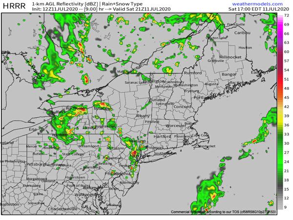
A cold front will move through the region this afternoon and evening with scattered showers and strong to severe thunderstorms. These thunderstorms will be capable of intense downpours, frequent lightning, and wind gusts over 40 mph. A few isolated thunderstorms may produce wind gusts over 60 mph. Winds will be from the west-southwest at 5 to 15 mph. Temperatures will rise into the lower to mid-80s on the coast and mid-80s to lower
90s elsewhere for highs.
A weak trough will linger over the region tonight on through tomorrow with areas of fog in the morning followed by the threat for a few isolated showers tomorrow afternoon. Winds will be from the west at 5 to 15 mph. Temperatures tomorrow will range from the mid to upper 60s for lows and lower to mid-80s along the coast and mid to upper 80s elsewhere for highs.
A strong cold front will follow on Monday with scattered showers and thunderstorms. Winds will be from the southwest at 5 to 15 mph. Temperatures on Monday will range from the upper 60s to lower 70s for lows and upper 70s to lower 80s for highs.
The cold front will stall over the region on Tuesday with scattered to broken clouds and isolated thunderstorms. Temperatures will range from the mid to upper 60s for lows and upper 70s to lower 80s for highs.
The cold front will lift north on Wednesday as a warm front with scattered thunderstorms a threat. Temperatures on Wednesday will range from the upper 50s to mid-60s for lows and lower to mid-80s on the coast and upper 80s to lower 90s elsewhere for highs.
A series of weak troughs will linger over the region on Thursday and Friday with areas of fog in the morning and isolated thunderstorms in the afternoon. Humid conditions can be expected with temperatures ranging from the lower to mid-70s for lows and lower to mid-80s along the coast and upper 80s to lower 90s elsewhere for highs.
For details on your location, please visit the Local Seven Day Forecast.